Area Overview for RH15 0SR
Photos of RH15 0SR
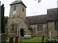

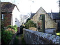
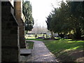
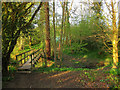
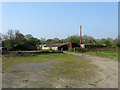
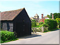
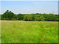
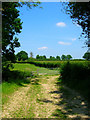
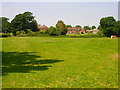
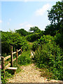
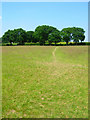
74 photos from this area
Area Information
Key information about the RH15 0SR including its size, population, and administrative classification.
- Area Type
- Postcode
- Area Size
- 51.7 hectares
- Population
- 2963
- Population Density
- 275 people/km²
House Prices in RH15 0SR
11
Properties
-
Average Sold Price
-
Lowest Price
-
Highest Price
Showing 11 properties
| Address | Type | Beds | Baths | Last Sale Price | Last Sale Date | |
|---|---|---|---|---|---|---|
| Walled Garden Lodge, Ote Hall Farm, Janes Lane, Wivelsfield, RH15 0SR | house | - | - | - | - | |
| The Coach House, Great Ote Hall, Janes Lane, Wivelsfield, RH15 0SR | Detached | 3 | - | - | - | |
| The Smithy, Ote Hall Farm, Janes Lane, Wivelsfield, RH15 0SR | storage_distribution | - | - | - | - | |
| Haywards Heath Foodbank, Unit B1 West, Ote Hall Farm, Janes Lane, Wivelsfield, RH15 0SR | Office | - | - | - | - | |
| 1, Garden Cottages, Janes Lane, Wivelsfield, RH15 0SR | house | - | - | - | - | |
| 2, Garden Cottages, Janes Lane, Wivelsfield, RH15 0SR | house | - | - | - | - | |
| 1, Ote Hall Farm Cottages, Janes Lane, Wivelsfield, RH15 0SR | house | - | - | - | - | |
| Lewvac Components Ltd, Unit F2, Ote Hall Farm, Janes Lane, Wivelsfield, RH15 0SR | office_workshop | - | - | - | - | |
| Little Ote Hall, Janes Lane, Wivelsfield, RH15 0SR | house | 6 | - | - | - | |
| 2, Ote Hall Farm Cottages, Janes Lane, Wivelsfield, RH15 0SR | house | - | - | - | - |
Page 1 of 2
Energy Efficiency in RH15 0SR
Amenities
Schools
| Rank | School | Type | Entry gender | Ages |
|---|
Explore more schools in this area
Go to Schools tabDemographics
Household Size
Family (3-5 people)
most common
Accommodation Type
Houses
most common
Tenure
82
majority
Ethnic Group
White
most common
Religion
N/A
most common
Household Composition
N/A
most common
Age
47
median
Adults (30-64 years)
most common
Household Deprivation
N/A
with no deprivation
NS-SEC
48
in Lower managerial occupations
Explore more demographic insights in this area
Go to Demographics tabPlanning
Planning Constraints
- Flood RiskPremium
- Ramsar Wetland SitesPremium
- Area of Outstanding Natural BeautyPremium
- Protected Nature ReservePremium
- Protected WoodlandPremium