Area Overview for RH15 0NT
Photos of RH15 0NT
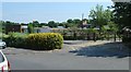
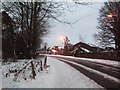
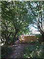
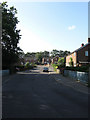
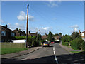
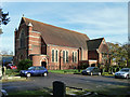
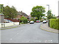
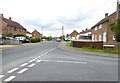
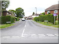
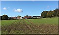
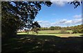
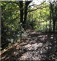
37 photos from this area
Area Information
Key information about the RH15 0NT including its size, population, and administrative classification.
- Area Type
- Postcode
- Area Size
- 7493 m²
- Population
- 1713
- Population Density
- 2586 people/km²
House Prices in RH15 0NT
17
Properties
£337,150
Average Sold Price
£95,000
Lowest Price
£600,000
Highest Price
Showing 17 properties
| Address | Type | Beds | Baths | Last Sale Price | Last Sale Date | |
|---|---|---|---|---|---|---|
| 4 Mansion Close, Burgess Hill, RH15 0NT | house | - | - | £600,000 | Oct 2023 | |
| 2 Mansion Close, Burgess Hill, RH15 0NT | house | 4 | 2 | £585,000 | Jun 2020 | |
| 9 Mansion Close, Burgess Hill, RH15 0NT | house | - | - | £407,500 | Jan 2020 | |
| 14 Mansion Close, Burgess Hill, RH15 0NT | house | 3 | 1 | £250,000 | Aug 2013 | |
| 16 Mansion Close, Burgess Hill, RH15 0NT | Detached | 3 | - | £265,000 | Sep 2011 | |
| 12 Mansion Close, Burgess Hill, RH15 0NT | house | - | - | £300,000 | Oct 2009 | |
| 15 Mansion Close, Burgess Hill, RH15 0NT | Detached | - | - | £325,000 | Sep 2007 | |
| 11 Mansion Close, Burgess Hill, RH15 0NT | house | - | - | £267,000 | Aug 2006 | |
| 1 Mansion Close, Burgess Hill, RH15 0NT | Detached | - | - | £277,000 | Sep 2003 | |
| 7 Mansion Close, Burgess Hill, RH15 0NT | Detached | - | - | £95,000 | May 1997 |
Page 1 of 2
Energy Efficiency in RH15 0NT
Amenities
Schools
| Rank | School | Type | Entry gender | Ages |
|---|
Explore more schools in this area
Go to Schools tabDemographics
Household Size
Family (3-5 people)
most common
Accommodation Type
Houses
most common
Tenure
80
majority
Ethnic Group
White
most common
Religion
N/A
most common
Household Composition
N/A
most common
Age
47
median
Adults (30-64 years)
most common
Household Deprivation
N/A
with no deprivation
NS-SEC
50
in Lower managerial occupations
Explore more demographic insights in this area
Go to Demographics tabPlanning
Planning Constraints
- Flood RiskPremium
- Ramsar Wetland SitesPremium
- Area of Outstanding Natural BeautyPremium
- Protected Nature ReservePremium
- Protected WoodlandPremium