Area Overview for RH15 0LF
Photos of RH15 0LF
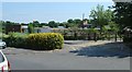
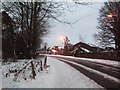
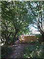
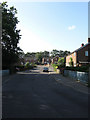
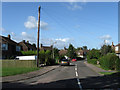
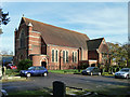
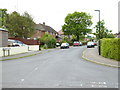
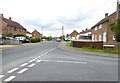
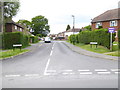
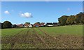
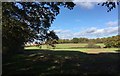
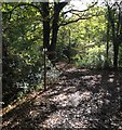
37 photos from this area
Area Information
Key information about the RH15 0LF including its size, population, and administrative classification.
- Area Type
- Postcode
- Area Size
- 6808 m²
- Population
- 1447
- Population Density
- 5534 people/km²
House Prices in RH15 0LF
21
Properties
£212,389
Average Sold Price
£66,000
Lowest Price
£350,000
Highest Price
Showing 21 properties
| Address | Type | Beds | Baths | Last Sale Price | Last Sale Date | |
|---|---|---|---|---|---|---|
| 19 The Nursery, Burgess Hill, RH15 0LF | house | - | - | £350,000 | Jan 2023 | |
| 37 The Nursery, Burgess Hill, RH15 0LF | Terraced | 2 | 1 | £289,000 | Jun 2017 | |
| 41 The Nursery, Burgess Hill, RH15 0LF | Terraced | 2 | 1 | £289,950 | Nov 2016 | |
| 3 The Nursery, Burgess Hill, RH15 0LF | Semi-detached | 3 | - | £300,000 | Oct 2016 | |
| 39 The Nursery, Burgess Hill, RH15 0LF | house | - | - | £250,000 | Oct 2015 | |
| 7 The Nursery, Burgess Hill, RH15 0LF | house | 3 | - | £193,000 | Jun 2012 | |
| 1 The Nursery, Burgess Hill, RH15 0LF | Detached | 2 | 1 | £207,000 | Apr 2012 | |
| 31 The Nursery, Burgess Hill, RH15 0LF | Bungalow | 3 | - | £192,000 | Jan 2012 | |
| 9 The Nursery, Burgess Hill, RH15 0LF | house | - | - | £176,000 | Aug 2010 | |
| 21 The Nursery, Burgess Hill, RH15 0LF | house | 3 | - | £223,000 | Jul 2010 |
Page 1 of 3
Energy Efficiency in RH15 0LF
Amenities
Schools
| Rank | School | Type | Entry gender | Ages |
|---|
Explore more schools in this area
Go to Schools tabDemographics
Household Size
Two person
most common
Accommodation Type
Houses
most common
Tenure
67
majority
Ethnic Group
White
most common
Religion
N/A
most common
Household Composition
N/A
most common
Age
47
median
Adults (30-64 years)
most common
Household Deprivation
N/A
with no deprivation
NS-SEC
34
in Lower managerial occupations
Explore more demographic insights in this area
Go to Demographics tabPlanning
Planning Constraints
- Flood RiskPremium
- Ramsar Wetland SitesPremium
- Area of Outstanding Natural BeautyPremium
- Protected Nature ReservePremium
- Protected WoodlandPremium