Area Overview for RH15 0HU
Photos of RH15 0HU
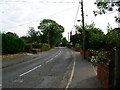
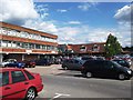
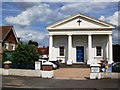
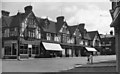
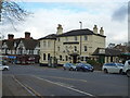
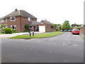
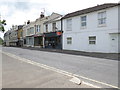
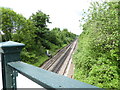
80 photos from this area
Area Information
Key information about the RH15 0HU including its size, population, and administrative classification.
- Area Type
- Postcode
- Area Size
- 1.0 hectares
- Population
- 1721
- Population Density
- 4957 people/km²
House Prices in RH15 0HU
18
Properties
£496,871
Average Sold Price
£111,000
Lowest Price
£750,000
Highest Price
Showing 18 properties
| Address | Type | Beds | Baths | Last Sale Price | Last Sale Date | |
|---|---|---|---|---|---|---|
| Barons Court Lodge, 1 Oakwood Road, Burgess Hill, RH15 0HU | Detached | 3 | 2 | £500,000 | Aug 2023 | |
| Braemar, Oakwood Road, Burgess Hill, RH15 0HU | Detached | 4 | 1 | £625,000 | Jun 2023 | |
| 9 Oakwood Road, Burgess Hill, RH15 0HU | house | - | - | £537,500 | Mar 2022 | |
| Torbay, Oakwood Road, Burgess Hill, RH15 0HU | Detached | 3 | 2 | £680,000 | Mar 2022 | |
| Adelmuir, Oakwood Road, Burgess Hill, RH15 0HU | Detached | 4 | 2 | £585,000 | Oct 2021 | |
| 7 Oakwood Road, Burgess Hill, RH15 0HU | house | - | - | £422,000 | Jul 2021 | |
| Glenholm, Oakwood Road, Burgess Hill, RH15 0HU | house | 5 | - | £750,000 | Jan 2019 | |
| Holly Tree, 13 Oakwood Road, Burgess Hill, RH15 0HU | house | - | - | £405,000 | Mar 2016 | |
| 3 Oakwood Road, Burgess Hill, RH15 0HU | house | - | - | £375,000 | Dec 2013 | |
| Greystoke, Oakwood Road, Burgess Hill, RH15 0HU | Detached | 5 | - | £657,000 | Jun 2011 |
Page 1 of 2
Energy Efficiency in RH15 0HU
Amenities
Schools
| Rank | School | Type | Entry gender | Ages |
|---|
Explore more schools in this area
Go to Schools tabDemographics
Household Size
Two person
most common
Accommodation Type
Houses
most common
Tenure
76
majority
Ethnic Group
White
most common
Religion
N/A
most common
Household Composition
N/A
most common
Age
47
median
Adults (30-64 years)
most common
Household Deprivation
N/A
with no deprivation
NS-SEC
40
in Lower managerial occupations
Explore more demographic insights in this area
Go to Demographics tabPlanning
Planning Constraints
- Flood RiskPremium
- Ramsar Wetland SitesPremium
- Area of Outstanding Natural BeautyPremium
- Protected Nature ReservePremium
- Protected WoodlandPremium