Area Overview for RH15 0HL
Photos of RH15 0HL
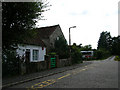
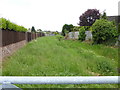
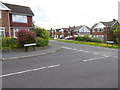
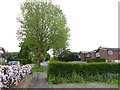
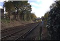
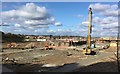
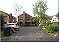
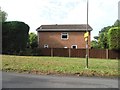
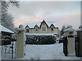
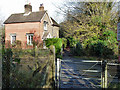
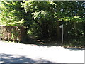
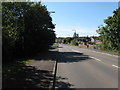
30 photos from this area
Area Information
Key information about the RH15 0HL including its size, population, and administrative classification.
- Area Type
- Postcode
- Area Size
- 1.8 hectares
- Population
- 1632
- Population Density
- 2242 people/km²
House Prices in RH15 0HL
34
Properties
£288,278
Average Sold Price
£81,000
Lowest Price
£550,000
Highest Price
Showing 34 properties
| Address | Type | Beds | Baths | Last Sale Price | Last Sale Date | |
|---|---|---|---|---|---|---|
| 48 Kings Ride, Burgess Hill, RH15 0HL | house | - | - | £550,000 | Sep 2024 | |
| 17 Kings Ride, Burgess Hill, RH15 0HL | house | - | - | £550,000 | Apr 2022 | |
| 30 Kings Ride, Burgess Hill, RH15 0HL | house | 4 | - | £455,000 | Dec 2021 | |
| 38 Kings Ride, Burgess Hill, RH15 0HL | Detached | 4 | 2 | £400,000 | Jan 2021 | |
| 9 Kings Ride, Burgess Hill, RH15 0HL | Detached | 3 | 1 | £360,000 | Nov 2020 | |
| 15 Kings Ride, Burgess Hill, RH15 0HL | house | - | - | £440,000 | Oct 2020 | |
| 7 Kings Ride, Burgess Hill, RH15 0HL | Detached | 3 | 2 | £342,000 | Dec 2019 | |
| 8 Kings Ride, Burgess Hill, RH15 0HL | house | 4 | - | £410,000 | Oct 2019 | |
| 28 Kings Ride, Burgess Hill, RH15 0HL | house | - | - | £400,000 | Aug 2019 | |
| 19 Kings Ride, Burgess Hill, RH15 0HL | house | 4 | - | £337,000 | Apr 2011 |
Page 1 of 4
Energy Efficiency in RH15 0HL
Amenities
Schools
| Rank | School | Type | Entry gender | Ages |
|---|
Explore more schools in this area
Go to Schools tabDemographics
Household Size
Two person
most common
Accommodation Type
Houses
most common
Tenure
89
majority
Ethnic Group
White
most common
Religion
N/A
most common
Household Composition
N/A
most common
Age
47
median
Adults (30-64 years)
most common
Household Deprivation
N/A
with no deprivation
NS-SEC
47
in Lower managerial occupations
Explore more demographic insights in this area
Go to Demographics tabPlanning
Planning Constraints
- Flood RiskPremium
- Ramsar Wetland SitesPremium
- Area of Outstanding Natural BeautyPremium
- Protected Nature ReservePremium
- Protected WoodlandPremium