Area Overview for RH15 0HB
Photos of RH15 0HB
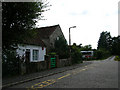
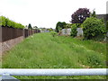
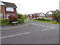
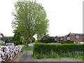
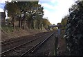
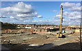
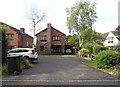
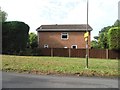
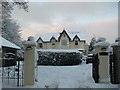
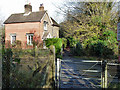
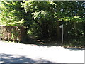
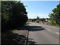
30 photos from this area
Area Information
Key information about the RH15 0HB including its size, population, and administrative classification.
- Area Type
- Postcode
- Area Size
- 1.9 hectares
- Population
- 1757
- Population Density
- 1716 people/km²
House Prices in RH15 0HB
16
Properties
£505,833
Average Sold Price
£146,000
Lowest Price
£887,500
Highest Price
Showing 16 properties
| Address | Type | Beds | Baths | Last Sale Price | Last Sale Date | |
|---|---|---|---|---|---|---|
| 25 Ferndale Road, Burgess Hill, RH15 0HB | house | - | - | £335,000 | May 2025 | |
| 41 Ferndale Road, Burgess Hill, RH15 0HB | Detached | 6 | 3 | £887,500 | Mar 2025 | |
| 39 Ferndale Road, Burgess Hill, RH15 0HB | house | - | - | £650,000 | Jul 2019 | |
| 35 Ferndale Road, Burgess Hill, RH15 0HB | Bungalow | - | - | £525,000 | Feb 2018 | |
| 23 Ferndale Road, Burgess Hill, RH15 0HB | Detached | 4 | 2 | £560,000 | Nov 2017 | |
| 27 Ferndale Road, Burgess Hill, RH15 0HB | Detached | 4 | - | £600,000 | Feb 2017 | |
| 43 Ferndale Road, Burgess Hill, RH15 0HB | Detached | 4 | 1 | £409,000 | Jul 2014 | |
| 19 Ferndale Road, Burgess Hill, RH15 0HB | house | - | - | £440,000 | Nov 2012 | |
| 37 Ferndale Road, Burgess Hill, RH15 0HB | Detached | - | - | £146,000 | Jun 1995 | |
| Land At Grid Reference 532018 118598, Glendale Road, Burgess Hill, RH15 0HB | Detached | - | - | - | - |
Page 1 of 2
Energy Efficiency in RH15 0HB
Amenities
Schools
| Rank | School | Type | Entry gender | Ages |
|---|
Explore more schools in this area
Go to Schools tabDemographics
Household Size
Two person
most common
Accommodation Type
Houses
most common
Tenure
90
majority
Ethnic Group
White
most common
Religion
N/A
most common
Household Composition
N/A
most common
Age
47
median
Adults (30-64 years)
most common
Household Deprivation
N/A
with no deprivation
NS-SEC
48
in Lower managerial occupations
Explore more demographic insights in this area
Go to Demographics tabPlanning
Planning Constraints
- Flood RiskPremium
- Ramsar Wetland SitesPremium
- Area of Outstanding Natural BeautyPremium
- Protected Nature ReservePremium
- Protected WoodlandPremium