Area Overview for RH15 0AR
Photos of RH15 0AR
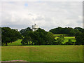
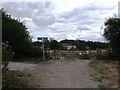
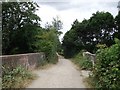
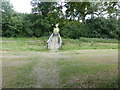
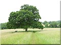
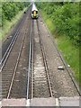
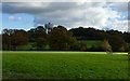
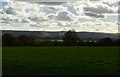
33 photos from this area
Area Information
Key information about the RH15 0AR including its size, population, and administrative classification.
- Area Type
- Postcode
- Area Size
- 2.1 hectares
- Population
- 1757
- Population Density
- 1716 people/km²
House Prices in RH15 0AR
26
Properties
£398,360
Average Sold Price
£127,000
Lowest Price
£730,000
Highest Price
Showing 26 properties
| Address | Type | Beds | Baths | Last Sale Price | Last Sale Date | |
|---|---|---|---|---|---|---|
| 7 Greenlands Close, Burgess Hill, RH15 0AR | house | - | - | £650,000 | Apr 2025 | |
| 11 Greenlands Close, Burgess Hill, RH15 0AR | house | 4 | - | £730,000 | Feb 2024 | |
| 27 Greenlands Close, Burgess Hill, RH15 0AR | house | - | - | £610,000 | Jul 2022 | |
| 17 Greenlands Close, Burgess Hill, RH15 0AR | house | - | - | £720,000 | Feb 2021 | |
| 20 Greenlands Close, Burgess Hill, RH15 0AR | house | - | - | £572,000 | Oct 2015 | |
| 4 Greenlands Close, Burgess Hill, RH15 0AR | house | 4 | 2 | £455,000 | Dec 2014 | |
| 6 Greenlands Close, Burgess Hill, RH15 0AR | Detached | 4 | - | £370,000 | Sep 2013 | |
| 19 Greenlands Close, Burgess Hill, RH15 0AR | Detached | - | - | £377,000 | May 2007 | |
| 21 Greenlands Close, Burgess Hill, RH15 0AR | house | - | - | £372,500 | Dec 2005 | |
| 16 Greenlands Close, Burgess Hill, RH15 0AR | Detached | - | - | £249,950 | Sep 2001 |
Page 1 of 3
Energy Efficiency in RH15 0AR
Amenities
Schools
| Rank | School | Type | Entry gender | Ages |
|---|
Explore more schools in this area
Go to Schools tabDemographics
Household Size
Two person
most common
Accommodation Type
Houses
most common
Tenure
90
majority
Ethnic Group
White
most common
Religion
N/A
most common
Household Composition
N/A
most common
Age
47
median
Adults (30-64 years)
most common
Household Deprivation
N/A
with no deprivation
NS-SEC
48
in Lower managerial occupations
Explore more demographic insights in this area
Go to Demographics tabPlanning
Planning Constraints
- Flood RiskPremium
- Ramsar Wetland SitesPremium
- Area of Outstanding Natural BeautyPremium
- Protected Nature ReservePremium
- Protected WoodlandPremium