Area Overview for RH14 9WL
Photos of RH14 9WL
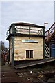
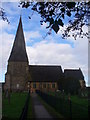
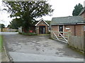
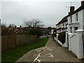
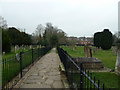
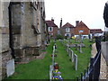
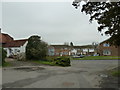
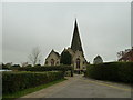
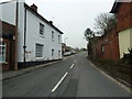
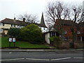
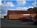
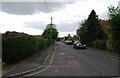
100 photos from this area
Area Information
Key information about the RH14 9WL including its size, population, and administrative classification.
- Area Type
- Postcode
- Area Size
- 1.2 hectares
- Population
- 1643
- Population Density
- 152 people/km²
House Prices in RH14 9WL
25
Properties
£363,274
Average Sold Price
£150,000
Lowest Price
£765,000
Highest Price
Showing 25 properties
| Address | Type | Beds | Baths | Last Sale Price | Last Sale Date | |
|---|---|---|---|---|---|---|
| 24 The Willows, Billingshurst, RH14 9WL | house | 5 | 3 | £765,000 | Dec 2024 | |
| 21 The Willows, Billingshurst, RH14 9WL | Flat | 2 | 2 | £201,000 | Mar 2024 | |
| 11 The Willows, Billingshurst, RH14 9WL | house | 4 | - | £455,000 | Jun 2021 | |
| 12 The Willows, Billingshurst, RH14 9WL | Semi-detached | 4 | 2 | £410,000 | Feb 2021 | |
| 5 The Willows, Billingshurst, RH14 9WL | Detached | 6 | 4 | £695,000 | May 2020 | |
| 9 The Willows, Billingshurst, RH14 9WL | Detached | 5 | 2 | £527,500 | Feb 2019 | |
| 18 The Willows, Billingshurst, RH14 9WL | Flat | - | - | £218,000 | Feb 2018 | |
| 3 The Willows, Billingshurst, RH14 9WL | house | - | - | £379,950 | Aug 2017 | |
| 7 The Willows, Billingshurst, RH14 9WL | Detached | 5 | - | £500,000 | Jun 2017 | |
| 16 The Willows, Billingshurst, RH14 9WL | Flat | - | - | £215,000 | Oct 2016 |
Page 1 of 3
Energy Efficiency in RH14 9WL
Amenities
Schools
| Rank | School | Type | Entry gender | Ages |
|---|
Explore more schools in this area
Go to Schools tabDemographics
Household Size
Family (3-5 people)
most common
Accommodation Type
Houses
most common
Tenure
78
majority
Ethnic Group
White
most common
Religion
N/A
most common
Household Composition
N/A
most common
Age
47
median
Adults (30-64 years)
most common
Household Deprivation
N/A
with no deprivation
NS-SEC
47
in Lower managerial occupations
Explore more demographic insights in this area
Go to Demographics tabPlanning
Planning Constraints
- Flood RiskPremium
- Ramsar Wetland SitesPremium
- Area of Outstanding Natural BeautyPremium
- Protected Nature ReservePremium
- Protected WoodlandPremium