Area Overview for RH14 9SF
Photos of RH14 9SF
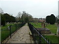
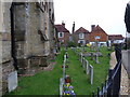
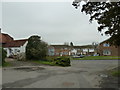
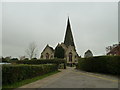
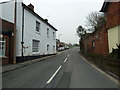
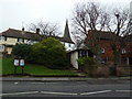
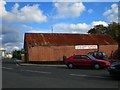
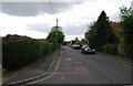
100 photos from this area
Area Information
Key information about the RH14 9SF including its size, population, and administrative classification.
- Area Type
- Postcode
- Area Size
- 3.6 hectares
- Population
- 2106
- Population Density
- 4249 people/km²
House Prices in RH14 9SF
57
Properties
£385,971
Average Sold Price
£155,000
Lowest Price
£735,000
Highest Price
Showing 57 properties
| Address | Type | Beds | Baths | Last Sale Price | Last Sale Date | |
|---|---|---|---|---|---|---|
| 86 Morris Drive, Billingshurst, RH14 9SF | Semi-detached | 3 | 2 | £475,000 | Dec 2024 | |
| 78 Morris Drive, Billingshurst, RH14 9SF | Detached | 3 | 1 | £500,000 | Aug 2024 | |
| 58 Morris Drive, Billingshurst, RH14 9SF | house | 3 | 2 | £510,000 | May 2024 | |
| 92 Morris Drive, Billingshurst, RH14 9SF | Detached | 3 | 2 | £490,000 | May 2024 | |
| 80 Morris Drive, Billingshurst, RH14 9SF | Detached | 4 | 3 | £525,000 | Oct 2023 | |
| 112 Morris Drive, Billingshurst, RH14 9SF | house | - | - | £425,000 | Oct 2023 | |
| 40 Morris Drive, Billingshurst, RH14 9SF | house | 2 | - | £347,000 | Aug 2023 | |
| 96 Morris Drive, Billingshurst, RH14 9SF | house | - | - | £495,000 | Nov 2022 | |
| 114 Morris Drive, Billingshurst, RH14 9SF | house | 3 | - | £480,000 | Jun 2022 | |
| 8 Morris Drive, Billingshurst, RH14 9SF | house | - | - | £630,000 | Mar 2022 |
Page 1 of 6
Energy Efficiency in RH14 9SF
Amenities
Schools
| Rank | School | Type | Entry gender | Ages |
|---|
Explore more schools in this area
Go to Schools tabDemographics
Household Size
Two person
most common
Accommodation Type
Houses
most common
Tenure
78
majority
Ethnic Group
White
most common
Religion
N/A
most common
Household Composition
N/A
most common
Age
47
median
Adults (30-64 years)
most common
Household Deprivation
N/A
with no deprivation
NS-SEC
39
in Lower managerial occupations
Explore more demographic insights in this area
Go to Demographics tabPlanning
Planning Constraints
- Flood RiskPremium
- Ramsar Wetland SitesPremium
- Area of Outstanding Natural BeautyPremium
- Protected Nature ReservePremium
- Protected WoodlandPremium