Area Overview for RH14 9EP
Photos of RH14 9EP
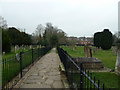
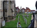
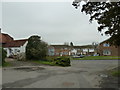
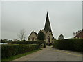
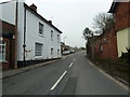
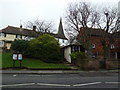
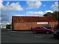
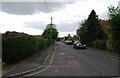
100 photos from this area
Area Information
Key information about the RH14 9EP including its size, population, and administrative classification.
- Area Type
- Postcode
- Area Size
- 2035 m²
- Population
- 2106
- Population Density
- 4249 people/km²
House Prices in RH14 9EP
7
Properties
£374,625
Average Sold Price
£225,000
Lowest Price
£690,000
Highest Price
Showing 7 properties
| Address | Type | Beds | Baths | Last Sale Price | Last Sale Date | |
|---|---|---|---|---|---|---|
| 132 High Street, Billingshurst, RH14 9EP | house | - | - | £690,000 | Nov 2022 | |
| 126 High Street, Billingshurst, RH14 9EP | house | 3 | - | £320,000 | Mar 2017 | |
| Wellhouse Cottage, 128 High Street, Billingshurst, RH14 9EP | Terraced | 2 | 1 | £277,800 | Sep 2015 | |
| The Well House, 130 High Street, Billingshurst, RH14 9EP | Cottage | 3 | - | £349,950 | Apr 2014 | |
| 124 High Street, Billingshurst, RH14 9EP | Terraced | 2 | 1 | £225,000 | Jun 2007 | |
| Alicks Hill House, 122 High Street, Billingshurst, RH14 9EP | Terraced | 3 | - | £385,000 | Nov 2006 | |
| 126 High Street, Billingshurst, RH14 9EP | undefined | - | - | - | - |
Energy Efficiency in RH14 9EP
Amenities
Schools
| Rank | School | Type | Entry gender | Ages |
|---|
Explore more schools in this area
Go to Schools tabDemographics
Household Size
Two person
most common
Accommodation Type
Houses
most common
Tenure
78
majority
Ethnic Group
White
most common
Religion
N/A
most common
Household Composition
N/A
most common
Age
47
median
Adults (30-64 years)
most common
Household Deprivation
N/A
with no deprivation
NS-SEC
39
in Lower managerial occupations
Explore more demographic insights in this area
Go to Demographics tabPlanning
Planning Constraints
- Flood RiskPremium
- Ramsar Wetland SitesPremium
- Area of Outstanding Natural BeautyPremium
- Protected Nature ReservePremium
- Protected WoodlandPremium