Area Overview for RH14 0SL
Photos of RH14 0SL
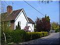
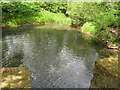
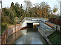
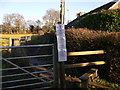
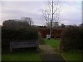
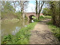
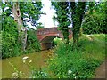
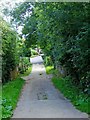
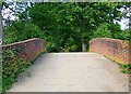
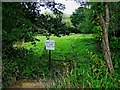
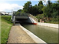
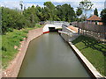
100 photos from this area
Area Information
Key information about the RH14 0SL including its size, population, and administrative classification.
- Area Type
- Postcode
- Area Size
- 9000 m²
- Population
- 1974
- Population Density
- 106 people/km²
House Prices in RH14 0SL
6
Properties
£485,100
Average Sold Price
£265,000
Lowest Price
£735,000
Highest Price
Showing 6 properties
| Address | Type | Beds | Baths | Last Sale Price | Last Sale Date | |
|---|---|---|---|---|---|---|
| Lanes End, 6 Burley Close, Loxwood, RH14 0SL | Bungalow | 5 | 1 | £735,000 | May 2024 | |
| The Brambles, 3 Burley Close, Loxwood, RH14 0SL | Bungalow | 3 | 3 | £667,500 | Mar 2022 | |
| 5 Burley Close, Loxwood, RH14 0SL | Bungalow | 4 | 2 | £485,000 | Dec 2016 | |
| Edelweiss, 2 Burley Close, Loxwood, RH14 0SL | Detached | - | - | £265,000 | Jun 2003 | |
| Steepside, 1 Burley Close, Loxwood, RH14 0SL | Bungalow | 5 | - | £273,000 | Dec 2002 | |
| Betula, 4 Burley Close, Loxwood, RH14 0SL | Bungalow | 3 | 1 | - | - |
Energy Efficiency in RH14 0SL
Amenities
Schools
| Rank | School | Type | Entry gender | Ages |
|---|
Explore more schools in this area
Go to Schools tabDemographics
Household Size
Two person
most common
Accommodation Type
Houses
most common
Tenure
83
majority
Ethnic Group
White
most common
Religion
N/A
most common
Household Composition
N/A
most common
Age
47
median
Adults (30-64 years)
most common
Household Deprivation
N/A
with no deprivation
NS-SEC
46
in Lower managerial occupations
Explore more demographic insights in this area
Go to Demographics tabPlanning
Planning Constraints
- Flood RiskPremium
- Ramsar Wetland SitesPremium
- Area of Outstanding Natural BeautyPremium
- Protected Nature ReservePremium
- Protected WoodlandPremium