Area Overview for RH14 0PW
Photos of RH14 0PW
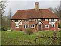

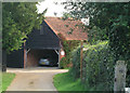
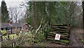
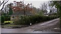
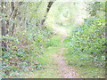
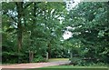
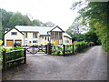
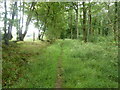
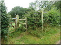
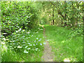
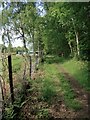
19 photos from this area
Area Information
Key information about the RH14 0PW including its size, population, and administrative classification.
- Area Type
- Postcode
- Area Size
- 4.5 hectares
- Population
- 1653
- Population Density
- 80 people/km²
House Prices in RH14 0PW
7
Properties
£975,714
Average Sold Price
£690,000
Lowest Price
£1,550,000
Highest Price
Showing 7 properties
| Address | Type | Beds | Baths | Last Sale Price | Last Sale Date | |
|---|---|---|---|---|---|---|
| Woodlands Place, Dunsfold Road, Plaistow, RH14 0PW | Detached | 4 | 2 | £1,450,000 | Aug 2023 | |
| The Oaks, Dunsfold Road, Plaistow, RH14 0PW | Bungalow | - | - | £950,000 | Jun 2021 | |
| Hoveto, Dunsfold Road, Plaistow, RH14 0PW | Detached | 5 | 2 | £690,000 | Sep 2019 | |
| Formerly Hoveto, Dunsfold Road, Plaistow, RH14 0PW | Detached | 5 | 2 | £690,000 | Sep 2019 | |
| Glenhaven, Dunsfold Road, Plaistow, RH14 0PW | Detached | 5 | 3 | £1,550,000 | Jan 2019 | |
| Hazeldene, Dunsfold Road, Plaistow, RH14 0PW | Detached | 2 | 1 | £705,000 | Feb 2008 | |
| Hyndford, Dunsfold Road, Plaistow, RH14 0PW | Detached | - | - | £795,000 | Apr 2007 |
Energy Efficiency in RH14 0PW
Amenities
Schools
| Rank | School | Type | Entry gender | Ages |
|---|
Explore more schools in this area
Go to Schools tabDemographics
Household Size
Two person
most common
Accommodation Type
Houses
most common
Tenure
86
majority
Ethnic Group
White
most common
Religion
N/A
most common
Household Composition
N/A
most common
Age
47
median
Adults (30-64 years)
most common
Household Deprivation
N/A
with no deprivation
NS-SEC
50
in Lower managerial occupations
Explore more demographic insights in this area
Go to Demographics tabPlanning
Planning Constraints
- Flood RiskPremium
- Ramsar Wetland SitesPremium
- Area of Outstanding Natural BeautyPremium
- Protected Nature ReservePremium
- Protected WoodlandPremium