Area Overview for RH13 9GP
Photos of RH13 9GP
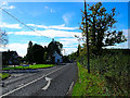
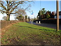
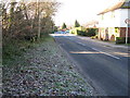
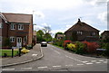
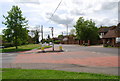
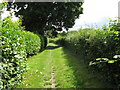
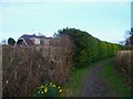
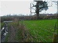
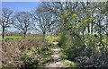
27 photos from this area
Area Information
Key information about the RH13 9GP including its size, population, and administrative classification.
- Area Type
- Postcode
- Area Size
- 1.3 hectares
- Population
- 1762
- Population Density
- 2996 people/km²
House Prices in RH13 9GP
33
Properties
£276,416
Average Sold Price
£35,000
Lowest Price
£720,000
Highest Price
Showing 33 properties
| Address | Type | Beds | Baths | Last Sale Price | Last Sale Date | |
|---|---|---|---|---|---|---|
| 3 Nyes Lane, Southwater, RH13 9GP | Detached | 5 | 2 | £720,000 | Jun 2025 | |
| 5 Nyes Lane, Southwater, RH13 9GP | Terraced | 2 | 1 | £360,000 | Aug 2024 | |
| 19 Nyes Lane, Southwater, RH13 9GP | Terraced | 2 | 1 | £317,000 | Mar 2024 | |
| 18 Nyes Lane, Southwater, RH13 9GP | house | - | - | £360,000 | Jun 2022 | |
| 25 Nyes Lane, Southwater, RH13 9GP | house | - | - | £600,000 | Jan 2021 | |
| 22 Nyes Lane, Southwater, RH13 9GP | house | - | - | £307,500 | Feb 2020 | |
| 15 Nyes Lane, Southwater, RH13 9GP | Terraced | 2 | 1 | £300,000 | Jan 2019 | |
| 24 Nyes Lane, Southwater, RH13 9GP | house | - | - | £325,000 | Jan 2019 | |
| 4 Nyes Lane, Southwater, RH13 9GP | Detached | 4 | 2 | £505,000 | Mar 2018 | |
| 9 Nyes Lane, Southwater, RH13 9GP | house | - | - | £285,000 | Nov 2017 |
Page 1 of 4
Energy Efficiency in RH13 9GP
Amenities
Schools
| Rank | School | Type | Entry gender | Ages |
|---|
Explore more schools in this area
Go to Schools tabDemographics
Household Size
Family (3-5 people)
most common
Accommodation Type
Houses
most common
Tenure
79
majority
Ethnic Group
White
most common
Religion
N/A
most common
Household Composition
N/A
most common
Age
47
median
Adults (30-64 years)
most common
Household Deprivation
N/A
with no deprivation
NS-SEC
39
in Lower managerial occupations
Explore more demographic insights in this area
Go to Demographics tabPlanning
Planning Constraints
- Flood RiskPremium
- Ramsar Wetland SitesPremium
- Area of Outstanding Natural BeautyPremium
- Protected Nature ReservePremium
- Protected WoodlandPremium