Area Overview for RH13 8NH
Photos of RH13 8NH
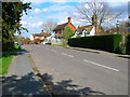
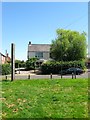
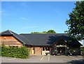

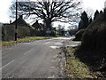
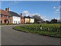
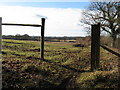


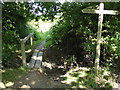
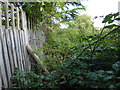
73 photos from this area
Area Information
Key information about the RH13 8NH including its size, population, and administrative classification.
- Area Type
- Postcode
- Area Size
- 11.6 hectares
- Population
- 1228
- Population Density
- 94 people/km²
House Prices in RH13 8NH
15
Properties
£634,200
Average Sold Price
£123,500
Lowest Price
£1,700,000
Highest Price
Showing 15 properties
| Address | Type | Beds | Baths | Last Sale Price | Last Sale Date | |
|---|---|---|---|---|---|---|
| 1, Dial Post Cottages, Worthing Road, Dial Post, RH13 8NH | Semi-detached | 7 | 2 | £1,700,000 | Sep 2022 | |
| The Old Granary, Worthing Road, Dial Post, RH13 8NH | Detached | 4 | 2 | £525,000 | Apr 2019 | |
| The Old Cottage, Worthing Road, Dial Post, RH13 8NH | Detached | 4 | 2 | £575,000 | Mar 2018 | |
| Shirley Cottage, Worthing Road, Dial Post, RH13 8NH | Detached | 3 | 1 | £620,000 | Sep 2017 | |
| The Staging House, Worthing Road, Dial Post, RH13 8NH | Detached | 7 | 2 | £640,000 | Mar 2017 | |
| Hillcrest, Worthing Road, Dial Post, RH13 8NH | Semi-detached | - | - | £1,350,000 | Jan 2017 | |
| Hazel Cottage, Worthing Road, Dial Post, RH13 8NH | Semi-detached | 3 | 1 | £575,000 | Aug 2015 | |
| Hawthorns, Worthing Road, Dial Post, RH13 8NH | Detached | - | - | £328,000 | Oct 2009 | |
| Alma Cottage, Worthing Road, Dial Post, RH13 8NH | Semi-detached | 3 | 1 | £499,950 | Aug 2007 | |
| New Lodge, Worthing Road, Dial Post, RH13 8NH | Detached | - | - | £499,950 | Oct 2005 |
Page 1 of 2
Energy Efficiency in RH13 8NH
Amenities
Schools
| Rank | School | Type | Entry gender | Ages |
|---|
Explore more schools in this area
Go to Schools tabDemographics
Household Size
Two person
most common
Accommodation Type
Houses
most common
Tenure
86
majority
Ethnic Group
White
most common
Religion
N/A
most common
Household Composition
N/A
most common
Age
47
median
Adults (30-64 years)
most common
Household Deprivation
N/A
with no deprivation
NS-SEC
42
in Lower managerial occupations
Explore more demographic insights in this area
Go to Demographics tabPlanning
Planning Constraints
- Flood RiskPremium
- Ramsar Wetland SitesPremium
- Area of Outstanding Natural BeautyPremium
- Protected Nature ReservePremium
- Protected WoodlandPremium