Area Overview for RH13 8JP
Photos of RH13 8JP
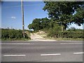
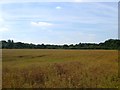
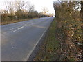
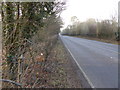
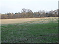
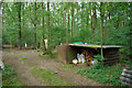
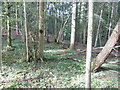
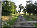
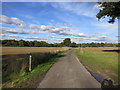
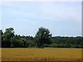
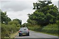
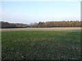
13 photos from this area
Area Information
Key information about the RH13 8JP including its size, population, and administrative classification.
- Area Type
- Postcode
- Area Size
- 22.3 hectares
- Population
- 1588
- Population Density
- 58 people/km²
House Prices in RH13 8JP
28
Properties
£396,839
Average Sold Price
£210,000
Lowest Price
£575,000
Highest Price
Showing 28 properties
| Address | Type | Beds | Baths | Last Sale Price | Last Sale Date | |
|---|---|---|---|---|---|---|
| 16, The Old Sussex Stud, Cowfold Road, West Grinstead, RH13 8JP | Terraced | 2 | 2 | £540,000 | Jul 2025 | |
| 22, The Old Sussex Stud, Cowfold Road, West Grinstead, RH13 8JP | Detached | 1 | 1 | £350,000 | Mar 2025 | |
| 9, The Old Sussex Stud, Cowfold Road, West Grinstead, RH13 8JP | Detached | 3 | 2 | £530,000 | Apr 2024 | |
| 20, The Old Sussex Stud, Cowfold Road, West Grinstead, RH13 8JP | Detached | 1 | 1 | £310,000 | Nov 2022 | |
| 11, The Old Sussex Stud, Cowfold Road, West Grinstead, RH13 8JP | Terraced | 2 | 2 | £430,000 | Sep 2022 | |
| 18, The Old Sussex Stud, Cowfold Road, West Grinstead, RH13 8JP | Terraced | 2 | 2 | £350,000 | Apr 2020 | |
| 7, The Old Sussex Stud, Cowfold Road, West Grinstead, RH13 8JP | Detached | 4 | 1 | £575,000 | Feb 2019 | |
| 17, The Old Sussex Stud, Cowfold Road, West Grinstead, RH13 8JP | house | - | - | £500,000 | Oct 2014 | |
| 14, The Old Sussex Stud, Cowfold Road, West Grinstead, RH13 8JP | house | - | - | £390,000 | Jul 2013 | |
| 4, The Old Sussex Stud, Cowfold Road, West Grinstead, RH13 8JP | Terraced | 4 | - | £450,000 | May 2013 |
Page 1 of 3
Energy Efficiency in RH13 8JP
Amenities
Schools
| Rank | School | Type | Entry gender | Ages |
|---|
Explore more schools in this area
Go to Schools tabDemographics
Household Size
Two person
most common
Accommodation Type
Houses
most common
Tenure
80
majority
Ethnic Group
White
most common
Religion
N/A
most common
Household Composition
N/A
most common
Age
47
median
Adults (30-64 years)
most common
Household Deprivation
N/A
with no deprivation
NS-SEC
45
in Lower managerial occupations
Explore more demographic insights in this area
Go to Demographics tabPlanning
Planning Constraints
- Flood RiskPremium
- Ramsar Wetland SitesPremium
- Area of Outstanding Natural BeautyPremium
- Protected Nature ReservePremium
- Protected WoodlandPremium