Area Overview for RH13 8BP
Photos of RH13 8BP
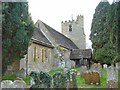
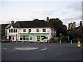
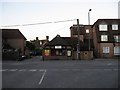
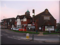
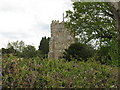
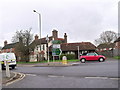
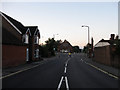
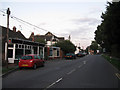
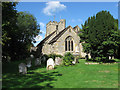
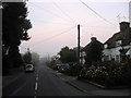
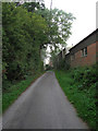
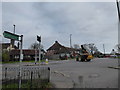
100 photos from this area
Area Information
Key information about the RH13 8BP including its size, population, and administrative classification.
- Area Type
- Postcode
- Area Size
- 2589 m²
- Population
- 1315
- Population Density
- 144 people/km²
House Prices in RH13 8BP
8
Properties
£625,000
Average Sold Price
£625,000
Lowest Price
£625,000
Highest Price
Showing 8 properties
| Address | Type | Beds | Baths | Last Sale Price | Last Sale Date | |
|---|---|---|---|---|---|---|
| Whitelined House, The Street, Cowfold, RH13 8BP | Detached | 3 | 1 | £625,000 | Apr 2022 | |
| The Old Post Office, The Street, Cowfold, RH13 8BP | Flat | 2 | 2 | - | - | |
| South Coast Preservation Ltd, Ground Floor, Palmerston House, The Street, Cowfold, RH13 8BP | Office | - | - | - | - | |
| Flat 1, Palmerston House, The Street, Cowfold, RH13 8BP | Flat | 2 | 1 | - | - | |
| Wessex Networks Ltd, First Floor Knight House, Farren Court, The Street, Cowfold, RH13 8BP | office_workshop | - | - | - | - | |
| Flat 2, Palmerston House, The Street, Cowfold, RH13 8BP | Flat | - | - | - | - | |
| We Know Office Ltd, Ground Floor Knight House, Farren Court, The Street, Cowfold, RH13 8BP | Office | - | - | - | - | |
| Alb Accountancy Uk Ltd, Unit D, Farren Court, The Street, Cowfold, RH13 8BP | Office | - | - | - | - |
Energy Efficiency in RH13 8BP
Amenities
Schools
| Rank | School | Type | Entry gender | Ages |
|---|
Explore more schools in this area
Go to Schools tabDemographics
Household Size
Two person
most common
Accommodation Type
Houses
most common
Tenure
70
majority
Ethnic Group
White
most common
Religion
N/A
most common
Household Composition
N/A
most common
Age
47
median
Adults (30-64 years)
most common
Household Deprivation
N/A
with no deprivation
NS-SEC
40
in Lower managerial occupations
Explore more demographic insights in this area
Go to Demographics tabPlanning
Planning Constraints
- Flood RiskPremium
- Ramsar Wetland SitesPremium
- Area of Outstanding Natural BeautyPremium
- Protected Nature ReservePremium
- Protected WoodlandPremium