Area Overview for RH13 6BD
Photos of RH13 6BD
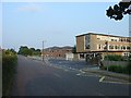
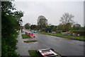
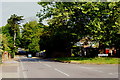
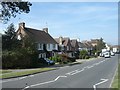
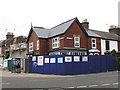
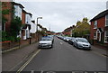
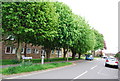
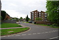
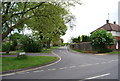
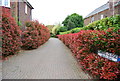
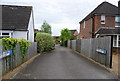
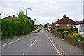
57 photos from this area
Area Information
Key information about the RH13 6BD including its size, population, and administrative classification.
- Area Type
- Postcode
- Area Size
- 3.6 hectares
- Population
- 1822
- Population Density
- 625 people/km²
House Prices in RH13 6BD
20
Properties
£424,273
Average Sold Price
£229,500
Lowest Price
£560,000
Highest Price
Showing 20 properties
| Address | Type | Beds | Baths | Last Sale Price | Last Sale Date | |
|---|---|---|---|---|---|---|
| 183 St Leonards Road, Horsham, RH13 6BD | Semi-detached | 3 | 1 | £535,000 | Jan 2025 | |
| 189 St Leonards Road, Horsham, RH13 6BD | Semi-detached | 3 | 1 | £545,000 | Jul 2024 | |
| 173 St Leonards Road, Horsham, RH13 6BD | Semi-detached | 3 | 1 | £560,000 | Sep 2023 | |
| 165 St Leonards Road, Horsham, RH13 6BD | house | - | - | £535,000 | Jan 2021 | |
| 163 St Leonards Road, Horsham, RH13 6BD | Semi-detached | 5 | 1 | £500,000 | Aug 2017 | |
| 185 St Leonards Road, Horsham, RH13 6BD | Semi-detached | 3 | 1 | £455,000 | Sep 2016 | |
| 181 St Leonards Road, Horsham, RH13 6BD | house | 4 | - | £370,000 | Jul 2013 | |
| 179 St Leonards Road, Horsham, RH13 6BD | Semi-detached | 3 | - | £300,000 | Jun 2013 | |
| 187 St Leonards Road, Horsham, RH13 6BD | house | 3 | - | £340,000 | Dec 2011 | |
| 157 St Leonards Road, Horsham, RH13 6BD | Semi-detached | - | - | £297,500 | Aug 2006 |
Page 1 of 2
Energy Efficiency in RH13 6BD
Amenities
Schools
| Rank | School | Type | Entry gender | Ages |
|---|
Explore more schools in this area
Go to Schools tabDemographics
Household Size
Two person
most common
Accommodation Type
Houses
most common
Tenure
94
majority
Ethnic Group
White
most common
Religion
N/A
most common
Household Composition
N/A
most common
Age
47
median
Adults (30-64 years)
most common
Household Deprivation
N/A
with no deprivation
NS-SEC
54
in Lower managerial occupations
Explore more demographic insights in this area
Go to Demographics tabPlanning
Planning Constraints
- Flood RiskPremium
- Ramsar Wetland SitesPremium
- Area of Outstanding Natural BeautyPremium
- Protected Nature ReservePremium
- Protected WoodlandPremium