Area Overview for RH13 5NY
Photos of RH13 5NY
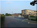
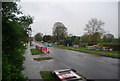
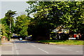
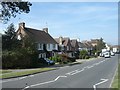
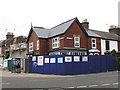
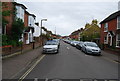
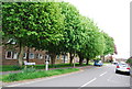
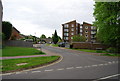
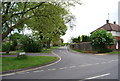
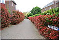
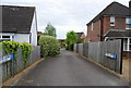
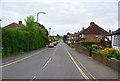
57 photos from this area
Area Information
Key information about the RH13 5NY including its size, population, and administrative classification.
- Area Type
- Postcode
- Area Size
- 1.7 hectares
- Population
- 1822
- Population Density
- 625 people/km²
House Prices in RH13 5NY
20
Properties
£419,962
Average Sold Price
£125,000
Lowest Price
£695,000
Highest Price
Showing 20 properties
| Address | Type | Beds | Baths | Last Sale Price | Last Sale Date | |
|---|---|---|---|---|---|---|
| 42 Comptons Lane, Horsham, RH13 5NY | Semi-detached | 3 | 1 | £555,000 | Jun 2023 | |
| 44 Comptons Lane, Horsham, RH13 5NY | house | - | - | £626,500 | Jun 2021 | |
| 12 Comptons Lane, Horsham, RH13 5NY | Detached | 4 | 2 | £695,000 | Jul 2019 | |
| Brooke House, 46 Comptons Lane, Horsham, RH13 5NY | Detached | 4 | 2 | £660,000 | May 2019 | |
| 28 Comptons Lane, Horsham, RH13 5NY | Detached | 4 | 1 | £600,000 | Jul 2018 | |
| 26 Comptons Lane, Horsham, RH13 5NY | Detached | - | - | £125,000 | Dec 2017 | |
| 20 Comptons Lane, Horsham, RH13 5NY | Bungalow | 3 | - | £250,000 | May 2016 | |
| 18 Comptons Lane, Horsham, RH13 5NY | house | - | - | £386,000 | Feb 2014 | |
| 24 Comptons Lane, Horsham, RH13 5NY | house | 3 | - | £456,000 | Jul 2010 | |
| 16 Comptons Lane, Horsham, RH13 5NY | house | - | - | £275,000 | Oct 2009 |
Page 1 of 2
Energy Efficiency in RH13 5NY
Amenities
Schools
| Rank | School | Type | Entry gender | Ages |
|---|
Explore more schools in this area
Go to Schools tabDemographics
Household Size
Two person
most common
Accommodation Type
Houses
most common
Tenure
94
majority
Ethnic Group
White
most common
Religion
N/A
most common
Household Composition
N/A
most common
Age
47
median
Adults (30-64 years)
most common
Household Deprivation
N/A
with no deprivation
NS-SEC
54
in Lower managerial occupations
Explore more demographic insights in this area
Go to Demographics tabPlanning
Planning Constraints
- Flood RiskPremium
- Ramsar Wetland SitesPremium
- Area of Outstanding Natural BeautyPremium
- Protected Nature ReservePremium
- Protected WoodlandPremium