Area Overview for RH13 0AU
Photos of RH13 0AU
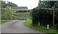
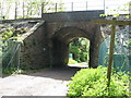
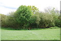
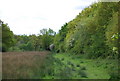
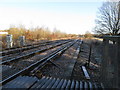
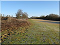
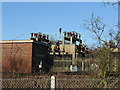
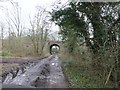
34 photos from this area
Area Information
Key information about the RH13 0AU including its size, population, and administrative classification.
- Area Type
- Postcode
- Area Size
- 2.5 hectares
- Population
- 1780
- Population Density
- 163 people/km²
House Prices in RH13 0AU
31
Properties
£506,364
Average Sold Price
£330,000
Lowest Price
£820,000
Highest Price
Showing 31 properties
| Address | Type | Beds | Baths | Last Sale Price | Last Sale Date | |
|---|---|---|---|---|---|---|
| 32 Sycamore Rise, Barns Green, RH13 0AU | Detached | 2 | 1 | £385,000 | Aug 2025 | |
| 34 Sycamore Rise, Barns Green, RH13 0AU | house | - | - | £425,000 | May 2016 | |
| 26 Sycamore Rise, Barns Green, RH13 0AU | house | - | - | £430,000 | Apr 2016 | |
| 1 Sycamore Rise, Barns Green, RH13 0AU | house | - | - | £630,000 | Mar 2016 | |
| 23 Sycamore Rise, Barns Green, RH13 0AU | house | - | - | £615,000 | Mar 2016 | |
| 19 Sycamore Rise, Barns Green, RH13 0AU | house | - | - | £820,000 | Feb 2016 | |
| 24 Sycamore Rise, Barns Green, RH13 0AU | house | - | - | £420,000 | Nov 2015 | |
| 15 Sycamore Rise, Barns Green, RH13 0AU | house | - | - | £530,000 | Nov 2015 | |
| 13 Sycamore Rise, Barns Green, RH13 0AU | Detached | 4 | 2 | £535,000 | Nov 2015 | |
| 7 Sycamore Rise, Barns Green, RH13 0AU | house | - | - | £330,000 | May 2015 |
Page 1 of 4
Energy Efficiency in RH13 0AU
Amenities
Schools
| Rank | School | Type | Entry gender | Ages |
|---|
Explore more schools in this area
Go to Schools tabDemographics
Household Size
Two person
most common
Accommodation Type
Houses
most common
Tenure
87
majority
Ethnic Group
White
most common
Religion
N/A
most common
Household Composition
N/A
most common
Age
47
median
Adults (30-64 years)
most common
Household Deprivation
N/A
with no deprivation
NS-SEC
45
in Lower managerial occupations
Explore more demographic insights in this area
Go to Demographics tabPlanning
Planning Constraints
- Flood RiskPremium
- Ramsar Wetland SitesPremium
- Area of Outstanding Natural BeautyPremium
- Protected Nature ReservePremium
- Protected WoodlandPremium