Area Overview for RH12 5JH
Photos of RH12 5JH
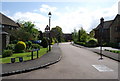
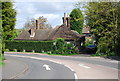
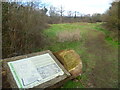
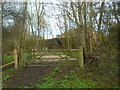
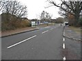
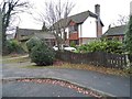
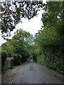
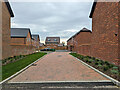
46 photos from this area
Area Information
Key information about the RH12 5JH including its size, population, and administrative classification.
- Area Type
- Postcode
- Area Size
- 1.7 hectares
- Population
- 1440
- Population Density
- 3089 people/km²
House Prices in RH12 5JH
17
Properties
£539,596
Average Sold Price
£269,950
Lowest Price
£941,000
Highest Price
Showing 17 properties
| Address | Type | Beds | Baths | Last Sale Price | Last Sale Date | |
|---|---|---|---|---|---|---|
| 7 Petworth Drive, Horsham, RH12 5JH | Detached | 5 | 2 | £867,500 | Aug 2024 | |
| 10 Petworth Drive, Horsham, RH12 5JH | Detached | 4 | 3 | £630,000 | Jul 2024 | |
| 4 Petworth Drive, Horsham, RH12 5JH | Detached | 4 | 2 | £700,000 | Dec 2023 | |
| Glen Tanar, 13 Petworth Drive, Horsham, RH12 5JH | Retail | 5 | 3 | £941,000 | Sep 2022 | |
| 5 Petworth Drive, Horsham, RH12 5JH | Detached | 5 | 3 | £938,000 | Sep 2022 | |
| 8 Petworth Drive, Horsham, RH12 5JH | house | - | - | £330,000 | Jul 2019 | |
| 6 Petworth Drive, Horsham, RH12 5JH | house | - | - | £370,000 | Nov 2014 | |
| 11 Petworth Drive, Horsham, RH12 5JH | Detached | 5 | - | £535,000 | May 2012 | |
| 3 Petworth Drive, Horsham, RH12 5JH | house | - | - | £365,000 | Jun 2010 | |
| 1 Petworth Drive, Horsham, RH12 5JH | Detached | - | - | £455,000 | Dec 2008 |
Page 1 of 2
Energy Efficiency in RH12 5JH
Amenities
Schools
| Rank | School | Type | Entry gender | Ages |
|---|
Explore more schools in this area
Go to Schools tabDemographics
Household Size
Family (3-5 people)
most common
Accommodation Type
Houses
most common
Tenure
77
majority
Ethnic Group
White
most common
Religion
N/A
most common
Household Composition
N/A
most common
Age
47
median
Adults (30-64 years)
most common
Household Deprivation
N/A
with no deprivation
NS-SEC
48
in Lower managerial occupations
Explore more demographic insights in this area
Go to Demographics tabPlanning
Planning Constraints
- Flood RiskPremium
- Ramsar Wetland SitesPremium
- Area of Outstanding Natural BeautyPremium
- Protected Nature ReservePremium
- Protected WoodlandPremium