Area Overview for RH12 5GH
Photos of RH12 5GH
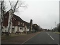
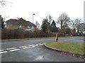
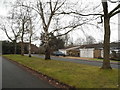
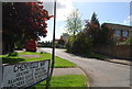
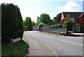
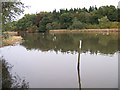
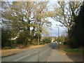
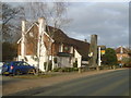
24 photos from this area
Area Information
Key information about the RH12 5GH including its size, population, and administrative classification.
- Area Type
- Postcode
- Area Size
- 6424 m²
- Population
- 1589
- Population Density
- 4312 people/km²
House Prices in RH12 5GH
18
Properties
£209,000
Average Sold Price
£83,000
Lowest Price
£367,000
Highest Price
Showing 18 properties
| Address | Type | Beds | Baths | Last Sale Price | Last Sale Date | |
|---|---|---|---|---|---|---|
| 208 Cook Road, Horsham, RH12 5GH | Terraced | 3 | 1 | £367,000 | May 2020 | |
| 186 Cook Road, Horsham, RH12 5GH | Terraced | 3 | - | £280,000 | Dec 2014 | |
| 192 Cook Road, Horsham, RH12 5GH | Terraced | - | - | £183,000 | Mar 2005 | |
| 188 Cook Road, Horsham, RH12 5GH | Terraced | - | - | £132,000 | Apr 2002 | |
| 206 Cook Road, Horsham, RH12 5GH | Terraced | - | - | £83,000 | Oct 1998 | |
| 194 Cook Road, Horsham, RH12 5GH | house | - | - | - | - | |
| 202 Cook Road, Horsham, RH12 5GH | Flat | - | - | - | - | |
| 180 Cook Road, Horsham, RH12 5GH | house | - | - | - | - | |
| 184 Cook Road, Horsham, RH12 5GH | Terraced | - | - | - | - | |
| 200 Cook Road, Horsham, RH12 5GH | Flat | - | - | - | - |
Page 1 of 2
Energy Efficiency in RH12 5GH
Amenities
Schools
| Rank | School | Type | Entry gender | Ages |
|---|
Explore more schools in this area
Go to Schools tabDemographics
Household Size
Family (3-5 people)
most common
Accommodation Type
Houses
most common
Tenure
63
majority
Ethnic Group
White
most common
Religion
N/A
most common
Household Composition
N/A
most common
Age
47
median
Adults (30-64 years)
most common
Household Deprivation
N/A
with no deprivation
NS-SEC
41
in Lower managerial occupations
Explore more demographic insights in this area
Go to Demographics tabPlanning
Planning Constraints
- Flood RiskPremium
- Ramsar Wetland SitesPremium
- Area of Outstanding Natural BeautyPremium
- Protected Nature ReservePremium
- Protected WoodlandPremium