Area Overview for RH12 4BU
Photos of RH12 4BU
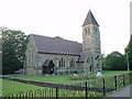
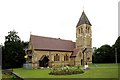
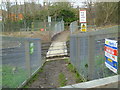
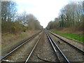
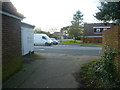
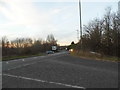

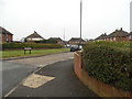
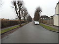
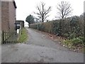
59 photos from this area
Area Information
Key information about the RH12 4BU including its size, population, and administrative classification.
- Area Type
- Postcode
- Area Size
- 1.8 hectares
- Population
- 1486
- Population Density
- 4289 people/km²
House Prices in RH12 4BU
41
Properties
£301,629
Average Sold Price
£76,000
Lowest Price
£572,000
Highest Price
Showing 41 properties
| Address | Type | Beds | Baths | Last Sale Price | Last Sale Date | |
|---|---|---|---|---|---|---|
| 93 Farhalls Crescent, Horsham, RH12 4BU | Terraced | 3 | 1 | £365,000 | Mar 2024 | |
| 75 Farhalls Crescent, Horsham, RH12 4BU | house | 3 | - | £428,000 | Jul 2023 | |
| 109 Farhalls Crescent, Horsham, RH12 4BU | Retail | 3 | 1 | £392,000 | Oct 2022 | |
| 155 Farhalls Crescent, Horsham, RH12 4BU | Detached | 4 | 2 | £572,000 | Aug 2020 | |
| 81 Farhalls Crescent, Horsham, RH12 4BU | house | - | - | £465,000 | Apr 2020 | |
| 121 Farhalls Crescent, Horsham, RH12 4BU | Terraced | 3 | 1 | £335,000 | Dec 2018 | |
| 123 Farhalls Crescent, Horsham, RH12 4BU | Terraced | 3 | 1 | £345,000 | Nov 2018 | |
| 129 Farhalls Crescent, Horsham, RH12 4BU | Terraced | 3 | 1 | £298,000 | Sep 2018 | |
| 131 Farhalls Crescent, Horsham, RH12 4BU | house | - | - | £336,000 | Aug 2018 | |
| 135 Farhalls Crescent, Horsham, RH12 4BU | Terraced | 3 | 1 | £300,000 | Dec 2017 |
Page 1 of 5
Energy Efficiency in RH12 4BU
Amenities
Schools
| Rank | School | Type | Entry gender | Ages |
|---|
Explore more schools in this area
Go to Schools tabDemographics
Household Size
Two person
most common
Accommodation Type
Houses
most common
Tenure
85
majority
Ethnic Group
White
most common
Religion
N/A
most common
Household Composition
N/A
most common
Age
47
median
Adults (30-64 years)
most common
Household Deprivation
N/A
with no deprivation
NS-SEC
38
in Lower managerial occupations
Explore more demographic insights in this area
Go to Demographics tabPlanning
Planning Constraints
- Flood RiskPremium
- Ramsar Wetland SitesPremium
- Area of Outstanding Natural BeautyPremium
- Protected Nature ReservePremium
- Protected WoodlandPremium