Area Overview for RH12 1TE
Photos of RH12 1TE
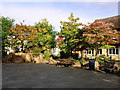
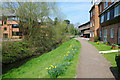
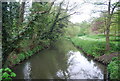
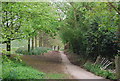
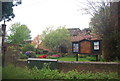
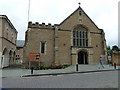
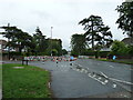
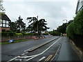
100 photos from this area
Area Information
Key information about the RH12 1TE including its size, population, and administrative classification.
- Area Type
- Postcode
- Area Size
- 9.9 hectares
- Population
- 1171
- Population Density
- 3970 people/km²
House Prices in RH12 1TE
40
Properties
£435,093
Average Sold Price
£120,000
Lowest Price
£900,000
Highest Price
Showing 40 properties
| Address | Type | Beds | Baths | Last Sale Price | Last Sale Date | |
|---|---|---|---|---|---|---|
| Tamarisk, 2A Cricketfield Road, Horsham, RH12 1TE | Detached | 3 | 1 | £550,000 | Feb 2025 | |
| 29 Cricketfield Road, Horsham, RH12 1TE | Semi-detached | 3 | 1 | £620,000 | Jun 2024 | |
| 5 Cricketfield Road, Horsham, RH12 1TE | Detached | 4 | 2 | £870,000 | Apr 2023 | |
| 21 Cricketfield Road, Horsham, RH12 1TE | house | - | - | £545,000 | Apr 2023 | |
| 22 Cricketfield Road, Horsham, RH12 1TE | Detached | 3 | - | £720,000 | Feb 2021 | |
| 10 Cricketfield Road, Horsham, RH12 1TE | Bungalow | 3 | 2 | £715,000 | Aug 2019 | |
| Fieldside, 16 Cricketfield Road, Horsham, RH12 1TE | house | 6 | - | £900,000 | Jun 2015 | |
| 18 Cricketfield Road, Horsham, RH12 1TE | Detached | 5 | - | £760,000 | Oct 2013 | |
| 30 Cricketfield Road, Horsham, RH12 1TE | Semi-detached | 3 | - | £382,000 | Sep 2013 | |
| 31 Cricketfield Road, Horsham, RH12 1TE | house | - | - | £365,000 | Jul 2013 |
Page 1 of 4
Energy Efficiency in RH12 1TE
Amenities
Schools
| Rank | School | Type | Entry gender | Ages |
|---|
Explore more schools in this area
Go to Schools tabDemographics
Household Size
One person
most common
Accommodation Type
Flats
most common
Tenure
59
majority
Ethnic Group
White
most common
Religion
N/A
most common
Household Composition
N/A
most common
Age
47
median
Adults (30-64 years)
most common
Household Deprivation
N/A
with no deprivation
NS-SEC
43
in Lower managerial occupations
Explore more demographic insights in this area
Go to Demographics tabPlanning
Planning Constraints
- Flood RiskPremium
- Ramsar Wetland SitesPremium
- Area of Outstanding Natural BeautyPremium
- Protected Nature ReservePremium
- Protected WoodlandPremium