Area Overview for RH11 8PX
Photos of RH11 8PX
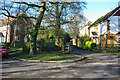
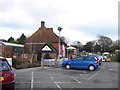
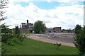
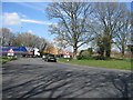
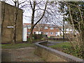
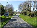
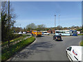
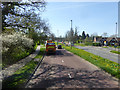
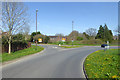
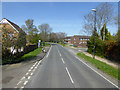
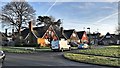
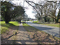
76 photos from this area
Area Information
Key information about the RH11 8PX including its size, population, and administrative classification.
- Area Type
- Postcode
- Area Size
- 1.8 hectares
- Population
- 1682
- Population Density
- 3288 people/km²
House Prices in RH11 8PX
27
Properties
£317,098
Average Sold Price
£91,000
Lowest Price
£550,000
Highest Price
Showing 27 properties
| Address | Type | Beds | Baths | Last Sale Price | Last Sale Date | |
|---|---|---|---|---|---|---|
| 49 Kingscote Hill, Gossops Green, Crawley, RH11 8PX | Semi-detached | 3 | 2 | £550,000 | Nov 2023 | |
| 27 Kingscote Hill, Gossops Green, Crawley, RH11 8PX | Retail | 3 | 2 | £420,000 | Aug 2022 | |
| 29 Kingscote Hill, Gossops Green, Crawley, RH11 8PX | Semi-detached | 3 | 2 | £435,000 | Mar 2021 | |
| 17 Kingscote Hill, Gossops Green, Crawley, RH11 8PX | Semi-detached | 4 | 1 | £425,000 | Feb 2018 | |
| 33 Kingscote Hill, Gossops Green, Crawley, RH11 8PX | house | 3 | 1 | £385,000 | Nov 2017 | |
| 47 Kingscote Hill, Gossops Green, Crawley, RH11 8PX | Semi-detached | 3 | 2 | £385,000 | Oct 2017 | |
| 59 Kingscote Hill, Gossops Green, Crawley, RH11 8PX | house | - | - | £399,950 | Feb 2016 | |
| 23 Kingscote Hill, Gossops Green, Crawley, RH11 8PX | house | 3 | - | £295,000 | Sep 2014 | |
| 53 Kingscote Hill, Gossops Green, Crawley, RH11 8PX | house | - | - | £289,950 | Jun 2013 | |
| 39 Kingscote Hill, Gossops Green, Crawley, RH11 8PX | Semi-detached | - | - | £250,000 | Nov 2007 |
Page 1 of 3
Energy Efficiency in RH11 8PX
Amenities
Schools
| Rank | School | Type | Entry gender | Ages |
|---|
Explore more schools in this area
Go to Schools tabDemographics
Household Size
Family (3-5 people)
most common
Accommodation Type
Houses
most common
Tenure
72
majority
Ethnic Group
White
most common
Religion
N/A
most common
Household Composition
N/A
most common
Age
47
median
Adults (30-64 years)
most common
Household Deprivation
N/A
with no deprivation
NS-SEC
30
in Lower managerial occupations
Explore more demographic insights in this area
Go to Demographics tabPlanning
Planning Constraints
- Flood RiskPremium
- Ramsar Wetland SitesPremium
- Area of Outstanding Natural BeautyPremium
- Protected Nature ReservePremium
- Protected WoodlandPremium