Area Overview for RH11 8GN
Photos of RH11 8GN
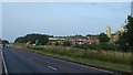
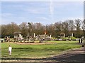
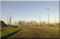
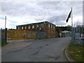
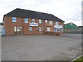
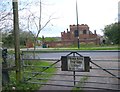
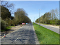
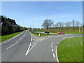
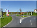
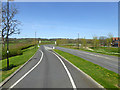
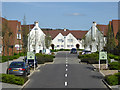
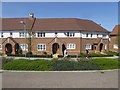
97 photos from this area
Area Information
Key information about the RH11 8GN including its size, population, and administrative classification.
- Area Type
- Postcode
- Area Size
- 2.1 hectares
- Population
- 1309
- Population Density
- 5761 people/km²
House Prices in RH11 8GN
50
Properties
£235,140
Average Sold Price
£106,875
Lowest Price
£375,000
Highest Price
Showing 50 properties
| Address | Type | Beds | Baths | Last Sale Price | Last Sale Date | |
|---|---|---|---|---|---|---|
| 13 Manorfields, Bewbush, Crawley, RH11 8GN | Terraced | 3 | - | £375,000 | May 2025 | |
| 27 Manorfields, Bewbush, Crawley, RH11 8GN | Terraced | 2 | 1 | £247,500 | Feb 2025 | |
| 47 Manorfields, Bewbush, Crawley, RH11 8GN | Semi-detached | 2 | 1 | £320,500 | Oct 2023 | |
| 1 Manorfields, Bewbush, Crawley, RH11 8GN | Terraced | 2 | 1 | £305,000 | Sep 2021 | |
| 14 Manorfields, Bewbush, Crawley, RH11 8GN | house | 2 | - | £265,000 | Mar 2021 | |
| 48 Manorfields, Bewbush, Crawley, RH11 8GN | house | 3 | - | £301,000 | Jan 2020 | |
| 45 Manorfields, Bewbush, Crawley, RH11 8GN | Terraced | 2 | 1 | £263,000 | Jul 2017 | |
| 21 Manorfields, Bewbush, Crawley, RH11 8GN | Terraced | 2 | - | £193,000 | Jan 2014 | |
| 28 Manorfields, Bewbush, Crawley, RH11 8GN | house | - | - | £175,000 | Nov 2009 | |
| 3 Manorfields, Bewbush, Crawley, RH11 8GN | Terraced | - | - | £224,950 | May 2007 |
Page 1 of 5
Energy Efficiency in RH11 8GN
Amenities
Schools
| Rank | School | Type | Entry gender | Ages |
|---|
Explore more schools in this area
Go to Schools tabDemographics
Household Size
Family (3-5 people)
most common
Accommodation Type
Houses
most common
Tenure
52
majority
Ethnic Group
White
most common
Religion
N/A
most common
Household Composition
N/A
most common
Age
47
median
Adults (30-64 years)
most common
Household Deprivation
N/A
with no deprivation
NS-SEC
26
in Lower managerial occupations
Explore more demographic insights in this area
Go to Demographics tabPlanning
Planning Constraints
- Flood RiskPremium
- Ramsar Wetland SitesPremium
- Area of Outstanding Natural BeautyPremium
- Protected Nature ReservePremium
- Protected WoodlandPremium