Area Overview for RH11 7BY
Photos of RH11 7BY
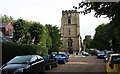

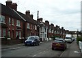

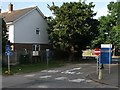
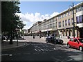
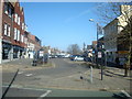
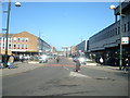
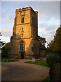

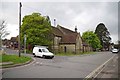
100 photos from this area
Area Information
Key information about the RH11 7BY including its size, population, and administrative classification.
- Area Type
- Postcode
- Area Size
- 1.2 hectares
- Population
- 1660
- Population Density
- 5215 people/km²
House Prices in RH11 7BY
43
Properties
£222,998
Average Sold Price
£15,000
Lowest Price
£415,000
Highest Price
Showing 43 properties
| Address | Type | Beds | Baths | Last Sale Price | Last Sale Date | |
|---|---|---|---|---|---|---|
| 11 Albany Road, West Green, Crawley, RH11 7BY | Semi-detached | 3 | 1 | £345,000 | Jul 2025 | |
| 15 Albany Road, West Green, Crawley, RH11 7BY | Terraced | 3 | 2 | £415,000 | Mar 2025 | |
| Lynton Villa, Albany Road, West Green, Crawley, RH11 7BY | Detached | 3 | 1 | £360,000 | Oct 2024 | |
| 101 Albany Road, West Green, Crawley, RH11 7BY | Terraced | 3 | 1 | £342,500 | Oct 2022 | |
| 17 Albany Road, West Green, Crawley, RH11 7BY | Terraced | 3 | 1 | £301,000 | Jan 2022 | |
| 93 Albany Road, West Green, Crawley, RH11 7BY | Semi-detached | 3 | 2 | £330,000 | Jan 2022 | |
| 39 Albany Road, West Green, Crawley, RH11 7BY | Semi-detached | 3 | 1 | £350,000 | Oct 2017 | |
| 1 Albany Road, West Green, Crawley, RH11 7BY | Semi-detached | 3 | 1 | £320,000 | Oct 2017 | |
| 33 Albany Road, West Green, Crawley, RH11 7BY | Maisonette | 1 | 1 | £15,000 | Feb 2017 | |
| 7 Albany Road, West Green, Crawley, RH11 7BY | house | - | - | £265,000 | Aug 2015 |
Page 1 of 5
Energy Efficiency in RH11 7BY
Amenities
Schools
| Rank | School | Type | Entry gender | Ages |
|---|
Explore more schools in this area
Go to Schools tabDemographics
Household Size
One person
most common
Accommodation Type
Houses
most common
Tenure
44
majority
Ethnic Group
White
most common
Religion
N/A
most common
Household Composition
N/A
most common
Age
47
median
Adults (30-64 years)
most common
Household Deprivation
N/A
with no deprivation
NS-SEC
24
in Lower managerial occupations
Explore more demographic insights in this area
Go to Demographics tabPlanning
Planning Constraints
- Flood RiskPremium
- Ramsar Wetland SitesPremium
- Area of Outstanding Natural BeautyPremium
- Protected Nature ReservePremium
- Protected WoodlandPremium