Area Overview for RH10 6RF
Photos of RH10 6RF
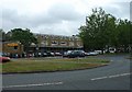
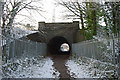
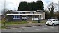
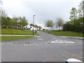
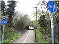
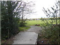
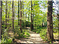
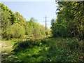
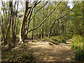
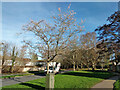
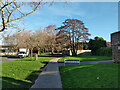
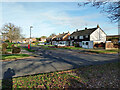
73 photos from this area
Area Information
Key information about the RH10 6RF including its size, population, and administrative classification.
- Area Type
- Postcode
- Area Size
- 5061 m²
- Population
- 1362
- Population Density
- 4104 people/km²
House Prices in RH10 6RF
20
Properties
£175,250
Average Sold Price
£48,000
Lowest Price
£292,500
Highest Price
Showing 20 properties
| Address | Type | Beds | Baths | Last Sale Price | Last Sale Date | |
|---|---|---|---|---|---|---|
| 5 Barton Walk, Furnace Green, Crawley, RH10 6RF | Terraced | 3 | 1 | £292,500 | Sep 2021 | |
| 3 Barton Walk, Furnace Green, Crawley, RH10 6RF | house | - | - | £269,000 | Mar 2021 | |
| 7 Barton Walk, Furnace Green, Crawley, RH10 6RF | house | - | - | £257,000 | May 2018 | |
| 10 Barton Walk, Furnace Green, Crawley, RH10 6RF | house | - | - | £275,000 | Feb 2017 | |
| 18 Barton Walk, Furnace Green, Crawley, RH10 6RF | house | - | - | £218,000 | Oct 2015 | |
| 16 Barton Walk, Furnace Green, Crawley, RH10 6RF | house | 1 | 1 | £212,000 | Aug 2007 | |
| 20 Barton Walk, Furnace Green, Crawley, RH10 6RF | house | - | - | £156,000 | Oct 2002 | |
| 1 Barton Walk, Furnace Green, Crawley, RH10 6RF | Semi-detached | 3 | 1 | £134,000 | Sep 2002 | |
| 8 Barton Walk, Furnace Green, Crawley, RH10 6RF | house | 3 | 1 | £130,000 | Nov 2001 | |
| 2 Barton Walk, Furnace Green, Crawley, RH10 6RF | house | - | - | £53,500 | Apr 2001 |
Page 1 of 2
Energy Efficiency in RH10 6RF
Amenities
Schools
| Rank | School | Type | Entry gender | Ages |
|---|
Explore more schools in this area
Go to Schools tabDemographics
Household Size
One person
most common
Accommodation Type
Houses
most common
Tenure
40
majority
Ethnic Group
White
most common
Religion
N/A
most common
Household Composition
N/A
most common
Age
47
median
Adults (30-64 years)
most common
Household Deprivation
N/A
with no deprivation
NS-SEC
22
in Lower managerial occupations
Explore more demographic insights in this area
Go to Demographics tabPlanning
Planning Constraints
- Flood RiskPremium
- Ramsar Wetland SitesPremium
- Area of Outstanding Natural BeautyPremium
- Protected Nature ReservePremium
- Protected WoodlandPremium