Area Overview for RH10 6PS
Photos of RH10 6PS
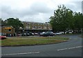
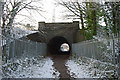
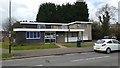
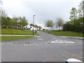
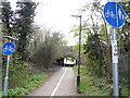
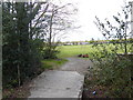
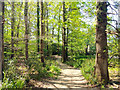
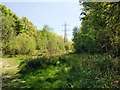
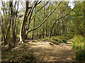
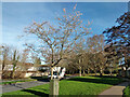
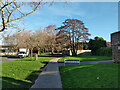
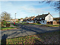
73 photos from this area
Area Information
Key information about the RH10 6PS including its size, population, and administrative classification.
- Area Type
- Postcode
- Area Size
- 5.1 hectares
- Population
- 1564
- Population Density
- 1212 people/km²
House Prices in RH10 6PS
24
Properties
£209,957
Average Sold Price
£99,950
Lowest Price
£358,000
Highest Price
Showing 24 properties
| Address | Type | Beds | Baths | Last Sale Price | Last Sale Date | |
|---|---|---|---|---|---|---|
| 17, Bateman Court, Forestfield, Furnace Green, Crawley, RH10 6PS | Terraced | 2 | 1 | £358,000 | Aug 2022 | |
| 14, Bateman Court, Forestfield, Furnace Green, Crawley, RH10 6PS | Terraced | 3 | 1 | £305,000 | Apr 2021 | |
| 19, Bateman Court, Forestfield, Furnace Green, Crawley, RH10 6PS | Terraced | 2 | 1 | £275,000 | Jan 2021 | |
| 8, Bateman Court, Forestfield, Furnace Green, Crawley, RH10 6PS | Terraced | 3 | 1 | £274,950 | Jul 2015 | |
| 15, Bateman Court, Forestfield, Furnace Green, Crawley, RH10 6PS | Terraced | 3 | 1 | £250,000 | Sep 2014 | |
| 12, Bateman Court, Forestfield, Furnace Green, Crawley, RH10 6PS | house | - | - | £235,000 | Mar 2013 | |
| 1, Bateman Court, Forestfield, Furnace Green, Crawley, RH10 6PS | Bungalow | 1 | 1 | £230,000 | Sep 2011 | |
| 16, Bateman Court, Forestfield, Furnace Green, Crawley, RH10 6PS | house | - | - | £115,000 | Jun 2009 | |
| 4, Bateman Court, Forestfield, Furnace Green, Crawley, RH10 6PS | Bungalow | - | - | £200,000 | Apr 2009 | |
| 23, Bateman Court, Forestfield, Furnace Green, Crawley, RH10 6PS | Bungalow | 1 | - | £140,500 | Mar 2005 |
Page 1 of 3
Energy Efficiency in RH10 6PS
Amenities
Schools
| Rank | School | Type | Entry gender | Ages |
|---|
Explore more schools in this area
Go to Schools tabDemographics
Household Size
Two person
most common
Accommodation Type
Houses
most common
Tenure
76
majority
Ethnic Group
White
most common
Religion
N/A
most common
Household Composition
N/A
most common
Age
47
median
Adults (30-64 years)
most common
Household Deprivation
N/A
with no deprivation
NS-SEC
31
in Lower managerial occupations
Explore more demographic insights in this area
Go to Demographics tabPlanning
Planning Constraints
- Flood RiskPremium
- Ramsar Wetland SitesPremium
- Area of Outstanding Natural BeautyPremium
- Protected Nature ReservePremium
- Protected WoodlandPremium