Area Overview for RH1 6JP
Photos of RH1 6JP
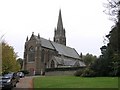
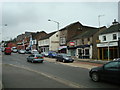
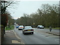
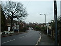
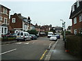

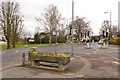
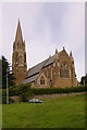
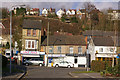
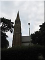
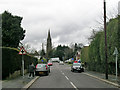
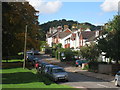
100 photos from this area
Area Information
Key information about the RH1 6JP including its size, population, and administrative classification.
- Area Type
- Postcode
- Area Size
- 6.6 hectares
- Population
- 1517
- Population Density
- 2324 people/km²
House Prices in RH1 6JP
35
Properties
£689,526
Average Sold Price
£365,000
Lowest Price
£1,092,000
Highest Price
Showing 35 properties
| Address | Type | Beds | Baths | Last Sale Price | Last Sale Date | |
|---|---|---|---|---|---|---|
| 26 Fairlawn Drive, Redhill, RH1 6JP | Detached | 4 | 1 | £1,000,000 | Feb 2025 | |
| 17 Fairlawn Drive, Redhill, RH1 6JP | Detached | 3 | 1 | £813,920 | Nov 2024 | |
| 1, Fairlawn House, Fairlawn Drive, Redhill, RH1 6JP | Terraced | 2 | 3 | £1,092,000 | Jun 2023 | |
| 10 Fairlawn Drive, Redhill, RH1 6JP | house | - | - | £715,000 | Sep 2021 | |
| 14 Fairlawn Drive, Redhill, RH1 6JP | house | - | - | £845,000 | Jun 2021 | |
| 5 Fairlawn Drive, Redhill, RH1 6JP | Bungalow | 3 | 2 | £630,000 | Dec 2019 | |
| 20 Fairlawn Drive, Redhill, RH1 6JP | Detached | 4 | 2 | £780,000 | Oct 2019 | |
| 12 Fairlawn Drive, Redhill, RH1 6JP | Detached | 4 | - | £700,000 | Mar 2019 | |
| 11 Fairlawn Drive, Redhill, RH1 6JP | Bungalow | 4 | 3 | £741,500 | Sep 2017 | |
| 8 Fairlawn Drive, Redhill, RH1 6JP | Detached | 3 | 1 | £785,000 | Oct 2016 |
Page 1 of 4
Energy Efficiency in RH1 6JP
Amenities
Schools
| Rank | School | Type | Entry gender | Ages |
|---|
Explore more schools in this area
Go to Schools tabDemographics
Household Size
Family (3-5 people)
most common
Accommodation Type
Houses
most common
Tenure
70
majority
Ethnic Group
White
most common
Religion
N/A
most common
Household Composition
N/A
most common
Age
47
median
Adults (30-64 years)
most common
Household Deprivation
N/A
with no deprivation
NS-SEC
53
in Lower managerial occupations
Explore more demographic insights in this area
Go to Demographics tabPlanning
Planning Constraints
- Flood RiskPremium
- Ramsar Wetland SitesPremium
- Area of Outstanding Natural BeautyPremium
- Protected Nature ReservePremium
- Protected WoodlandPremium