Area Overview for RH1 6BW
Photos of RH1 6BW
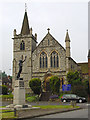
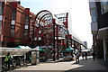
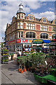
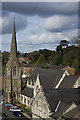
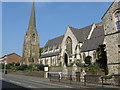
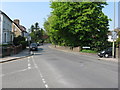
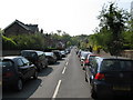
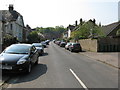
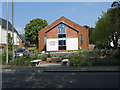
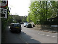
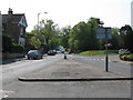
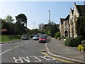
100 photos from this area
Area Information
Key information about the RH1 6BW including its size, population, and administrative classification.
- Area Type
- Postcode
- Area Size
- 8321 m²
- Population
- 1978
- Population Density
- 6346 people/km²
House Prices in RH1 6BW
29
Properties
£409,964
Average Sold Price
£120,000
Lowest Price
£850,000
Highest Price
Showing 29 properties
| Address | Type | Beds | Baths | Last Sale Price | Last Sale Date | |
|---|---|---|---|---|---|---|
| 36 Linkfield Street, Redhill, RH1 6BW | Semi-detached | 4 | 1 | £850,000 | Sep 2025 | |
| 20 Linkfield Street, Redhill, RH1 6BW | Terraced | 2 | 1 | £428,500 | Feb 2025 | |
| 16 Linkfield Street, Redhill, RH1 6BW | Terraced | 2 | 2 | £480,000 | Sep 2021 | |
| 41 Linkfield Street, Redhill, RH1 6BW | Semi-detached | 4 | 1 | £820,000 | Apr 2021 | |
| 12 Linkfield Street, Redhill, RH1 6BW | Terraced | 3 | 2 | £365,000 | Aug 2019 | |
| 22 Linkfield Street, Redhill, RH1 6BW | Semi-detached | 4 | - | £520,000 | Feb 2017 | |
| Fir Tree Cottage, 10 Linkfield Street, Redhill, RH1 6BW | Detached | 1 | - | £281,000 | Jul 2015 | |
| 45 Linkfield Street, Redhill, RH1 6BW | house | 5 | - | £675,000 | Jun 2012 | |
| Lorne House, 30 Linkfield Street, Redhill, RH1 6BW | Detached | - | - | £499,999 | Aug 2009 | |
| 38 Linkfield Street, Redhill, RH1 6BW | Retail | 2 | 2 | £195,000 | Apr 2003 |
Page 1 of 3
Energy Efficiency in RH1 6BW
Amenities
Schools
| Rank | School | Type | Entry gender | Ages |
|---|
Explore more schools in this area
Go to Schools tabDemographics
Household Size
Family (3-5 people)
most common
Accommodation Type
Houses
most common
Tenure
64
majority
Ethnic Group
White
most common
Religion
N/A
most common
Household Composition
N/A
most common
Age
47
median
Adults (30-64 years)
most common
Household Deprivation
N/A
with no deprivation
NS-SEC
53
in Lower managerial occupations
Explore more demographic insights in this area
Go to Demographics tabPlanning
Planning Constraints
- Flood RiskPremium
- Ramsar Wetland SitesPremium
- Area of Outstanding Natural BeautyPremium
- Protected Nature ReservePremium
- Protected WoodlandPremium