Area Overview for RH1 6BB
Photos of RH1 6BB
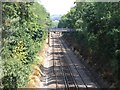
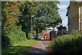
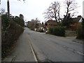
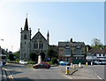
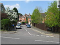
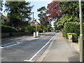
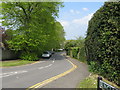
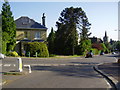
100 photos from this area
Area Information
Key information about the RH1 6BB including its size, population, and administrative classification.
- Area Type
- Postcode
- Area Size
- 6889 m²
- Population
- 1978
- Population Density
- 6346 people/km²
House Prices in RH1 6BB
21
Properties
£555,018
Average Sold Price
£215,000
Lowest Price
£980,000
Highest Price
Showing 21 properties
| Address | Type | Beds | Baths | Last Sale Price | Last Sale Date | |
|---|---|---|---|---|---|---|
| 7 Devon Crescent, Redhill, RH1 6BB | Detached | 5 | 2 | £980,000 | Jan 2022 | |
| 11 Devon Crescent, Redhill, RH1 6BB | Detached | 5 | 2 | £780,000 | Sep 2015 | |
| 17 Devon Crescent, Redhill, RH1 6BB | Detached | 4 | 2 | £676,666 | May 2010 | |
| 15 Devon Crescent, Redhill, RH1 6BB | house | - | - | £440,000 | Jul 2009 | |
| 4 Devon Crescent, Redhill, RH1 6BB | Detached | - | - | £653,500 | Mar 2007 | |
| 19 Devon Crescent, Redhill, RH1 6BB | Detached | - | - | £475,000 | Sep 2003 | |
| 1 Devon Crescent, Redhill, RH1 6BB | Detached | - | - | £430,000 | Aug 2003 | |
| 9 Devon Crescent, Redhill, RH1 6BB | Semi-detached | - | - | £345,000 | Oct 2002 | |
| 5 Devon Crescent, Redhill, RH1 6BB | Semi-detached | - | - | £215,000 | Aug 1999 | |
| Flat 5, 2 Devon Crescent, Redhill, RH1 6BB | Flat | - | - | - | - |
Page 1 of 3
Energy Efficiency in RH1 6BB
Amenities
Schools
| Rank | School | Type | Entry gender | Ages |
|---|
Explore more schools in this area
Go to Schools tabDemographics
Household Size
Family (3-5 people)
most common
Accommodation Type
Houses
most common
Tenure
64
majority
Ethnic Group
White
most common
Religion
N/A
most common
Household Composition
N/A
most common
Age
47
median
Adults (30-64 years)
most common
Household Deprivation
N/A
with no deprivation
NS-SEC
53
in Lower managerial occupations
Explore more demographic insights in this area
Go to Demographics tabPlanning
Planning Constraints
- Flood RiskPremium
- Ramsar Wetland SitesPremium
- Area of Outstanding Natural BeautyPremium
- Protected Nature ReservePremium
- Protected WoodlandPremium