Area Overview for RH1 5QD
Photos of RH1 5QD
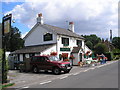
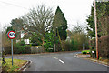
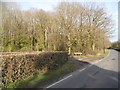

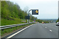
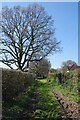
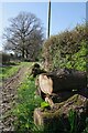
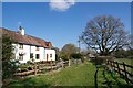
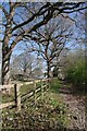
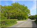
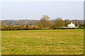
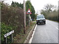
46 photos from this area
Area Information
Key information about the RH1 5QD including its size, population, and administrative classification.
- Area Type
- Postcode
- Area Size
- 14.8 hectares
- Population
- 1417
- Population Density
- 180 people/km²
House Prices in RH1 5QD
13
Properties
£563,643
Average Sold Price
£245,000
Lowest Price
£800,000
Highest Price
Showing 13 properties
| Address | Type | Beds | Baths | Last Sale Price | Last Sale Date | |
|---|---|---|---|---|---|---|
| Carillon, Bellwether Lane, Outwood, RH1 5QD | Semi-detached | 5 | 2 | £765,000 | Dec 2024 | |
| Beechcroft, Bellwether Lane, Outwood, RH1 5QD | Bungalow | 3 | 2 | £612,000 | Aug 2024 | |
| Pear Tree Cottage, Bellwether Lane, Outwood, RH1 5QD | house | - | - | £675,000 | Dec 2022 | |
| Sanray, Bellwether Lane, Outwood, RH1 5QD | Bungalow | 5 | 3 | £800,000 | Dec 2020 | |
| Fairhaven, Bellwether Lane, Outwood, RH1 5QD | Bungalow | 3 | 2 | £560,000 | Feb 2010 | |
| Meadowbank, Bellwether Lane, Outwood, RH1 5QD | Detached | - | - | £245,000 | Feb 2000 | |
| Amhurst, Bellwether Lane, Outwood, RH1 5QD | house | - | - | £288,500 | Aug 1998 | |
| Bellwether Cottage, Bellwether Lane, Outwood, RH1 5QD | Semi-detached | - | - | - | - | |
| Pelican Cottage, Bellwether Lane, Outwood, RH1 5QD | Semi-detached | - | - | - | - | |
| Downsview, Bellwether Lane, Outwood, RH1 5QD | Semi-detached | - | - | - | - |
Page 1 of 2
Energy Efficiency in RH1 5QD
Amenities
Schools
| Rank | School | Type | Entry gender | Ages |
|---|
Explore more schools in this area
Go to Schools tabDemographics
Household Size
Family (3-5 people)
most common
Accommodation Type
Houses
most common
Tenure
87
majority
Ethnic Group
White
most common
Religion
N/A
most common
Household Composition
N/A
most common
Age
47
median
Adults (30-64 years)
most common
Household Deprivation
N/A
with no deprivation
NS-SEC
43
in Lower managerial occupations
Explore more demographic insights in this area
Go to Demographics tabPlanning
Planning Constraints
- Flood RiskPremium
- Ramsar Wetland SitesPremium
- Area of Outstanding Natural BeautyPremium
- Protected Nature ReservePremium
- Protected WoodlandPremium