Area Overview for RH1 5AS
Photos of RH1 5AS
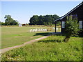
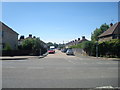
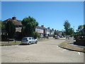
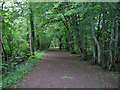
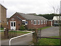
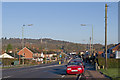
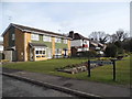
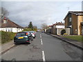
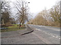
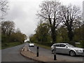
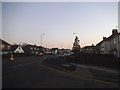
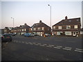
59 photos from this area
Area Information
Key information about the RH1 5AS including its size, population, and administrative classification.
- Area Type
- Postcode
- Area Size
- 1.4 hectares
- Population
- 1722
- Population Density
- 739 people/km²
House Prices in RH1 5AS
22
Properties
£351,887
Average Sold Price
£126,260
Lowest Price
£700,000
Highest Price
Showing 22 properties
| Address | Type | Beds | Baths | Last Sale Price | Last Sale Date | |
|---|---|---|---|---|---|---|
| 117 Horley Road, Redhill, RH1 5AS | Detached | 4 | 2 | £700,000 | Nov 2024 | |
| 99C Horley Road, Redhill, RH1 5AS | Bungalow | - | - | £260,000 | Jun 2021 | |
| 107 Horley Road, Redhill, RH1 5AS | Detached | 5 | 2 | £513,500 | Jun 2019 | |
| 101 Horley Road, Redhill, RH1 5AS | Bungalow | 4 | 2 | £460,000 | Jan 2018 | |
| 115 Horley Road, Redhill, RH1 5AS | Detached | 4 | 2 | £370,500 | Mar 2014 | |
| 103 Horley Road, Redhill, RH1 5AS | Detached | 3 | 3 | £346,000 | Jan 2014 | |
| 105 Horley Road, Redhill, RH1 5AS | Detached | 3 | 2 | £315,000 | Apr 2013 | |
| 113 Horley Road, Redhill, RH1 5AS | Detached | 4 | - | £385,000 | Aug 2012 | |
| 99A Horley Road, Redhill, RH1 5AS | Terraced | - | - | £237,500 | Jan 2005 | |
| 99B Horley Road, Redhill, RH1 5AS | Terraced | - | - | £157,000 | Oct 2004 |
Page 1 of 3
Energy Efficiency in RH1 5AS
Amenities
Schools
| Rank | School | Type | Entry gender | Ages |
|---|
Explore more schools in this area
Go to Schools tabDemographics
Household Size
Family (3-5 people)
most common
Accommodation Type
Houses
most common
Tenure
71
majority
Ethnic Group
White
most common
Religion
N/A
most common
Household Composition
N/A
most common
Age
47
median
Adults (30-64 years)
most common
Household Deprivation
N/A
with no deprivation
NS-SEC
37
in Lower managerial occupations
Explore more demographic insights in this area
Go to Demographics tabPlanning
Planning Constraints
- Flood RiskPremium
- Ramsar Wetland SitesPremium
- Area of Outstanding Natural BeautyPremium
- Protected Nature ReservePremium
- Protected WoodlandPremium