Area Overview for RH1 4BZ
Photos of RH1 4BZ
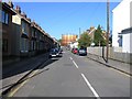
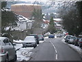
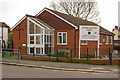
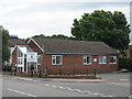
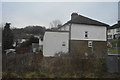
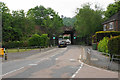

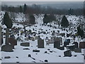
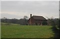
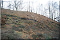
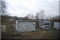
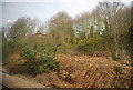
35 photos from this area
Area Information
Key information about the RH1 4BZ including its size, population, and administrative classification.
- Area Type
- Postcode
- Area Size
- 6830 m²
- Population
- 1730
- Population Density
- 3259 people/km²
House Prices in RH1 4BZ
20
Properties
£370,500
Average Sold Price
£231,000
Lowest Price
£530,000
Highest Price
Showing 20 properties
| Address | Type | Beds | Baths | Last Sale Price | Last Sale Date | |
|---|---|---|---|---|---|---|
| Hollowdene, 23 Redstone Hollow, Redhill, RH1 4BZ | Semi-detached | 3 | 1 | £530,000 | Jan 2024 | |
| Pelham, 11 Redstone Hollow, Redhill, RH1 4BZ | Semi-detached | 3 | 1 | £475,000 | Apr 2022 | |
| Kendell, 9 Redstone Hollow, Redhill, RH1 4BZ | Semi-detached | - | - | £231,000 | Oct 2008 | |
| Easter Rise, 25 Redstone Hollow, Redhill, RH1 4BZ | Semi-detached | - | - | £246,000 | Aug 2007 | |
| Dawn, 3 Redstone Hollow, Redhill, RH1 4BZ | Semi-detached | 3 | 1 | - | - | |
| Trees, 1A Redstone Hollow, Redhill, RH1 4BZ | Detached | 3 | - | - | - | |
| Mount, 3A Redstone Hollow, Redhill, RH1 4BZ | Semi-detached | 3 | - | - | - | |
| St Katherine, 15 Redstone Hollow, Redhill, RH1 4BZ | Semi-detached | 3 | - | - | - | |
| South View, 19 Redstone Hollow, Redhill, RH1 4BZ | Semi-detached | 3 | 1 | - | - | |
| Sandhills, 17 Redstone Hollow, Redhill, RH1 4BZ | Semi-detached | - | - | - | - |
Page 1 of 2
Energy Efficiency in RH1 4BZ
Amenities
Schools
| Rank | School | Type | Entry gender | Ages |
|---|
Explore more schools in this area
Go to Schools tabDemographics
Household Size
Family (3-5 people)
most common
Accommodation Type
Houses
most common
Tenure
83
majority
Ethnic Group
White
most common
Religion
N/A
most common
Household Composition
N/A
most common
Age
47
median
Adults (30-64 years)
most common
Household Deprivation
N/A
with no deprivation
NS-SEC
52
in Lower managerial occupations
Explore more demographic insights in this area
Go to Demographics tabPlanning
Planning Constraints
- Flood RiskPremium
- Ramsar Wetland SitesPremium
- Area of Outstanding Natural BeautyPremium
- Protected Nature ReservePremium
- Protected WoodlandPremium