Area Overview for RH1 4AU
Photos of RH1 4AU
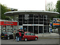
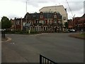
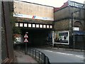
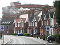
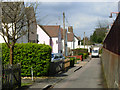
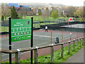
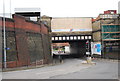
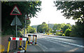
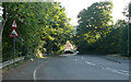
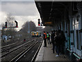
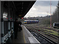
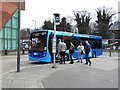
100 photos from this area
Area Information
Key information about the RH1 4AU including its size, population, and administrative classification.
- Area Type
- Postcode
- Area Size
- 3.3 hectares
- Population
- 1730
- Population Density
- 3259 people/km²
House Prices in RH1 4AU
25
Properties
£376,831
Average Sold Price
£135,000
Lowest Price
£825,000
Highest Price
Showing 25 properties
| Address | Type | Beds | Baths | Last Sale Price | Last Sale Date | |
|---|---|---|---|---|---|---|
| 25 Nutfield Road, Redhill, RH1 4AU | Semi-detached | 4 | 2 | £640,000 | Oct 2025 | |
| 2 Nutfield Road, Redhill, RH1 4AU | Semi-detached | 3 | 1 | £665,000 | Mar 2025 | |
| 8 Nutfield Road, Redhill, RH1 4AU | Semi-detached | 3 | 2 | £640,000 | Apr 2023 | |
| Woodford, 13 Nutfield Road, Redhill, RH1 4AU | Semi-detached | 4 | 1 | £485,000 | Dec 2020 | |
| 9 Nutfield Road, Redhill, RH1 4AU | Semi-detached | 4 | 1 | £470,000 | Nov 2017 | |
| 14 Nutfield Road, Redhill, RH1 4AU | Retail | 4 | 1 | £825,000 | Apr 2016 | |
| 27 Nutfield Road, Redhill, RH1 4AU | house | - | - | £320,000 | Mar 2016 | |
| 4 Nutfield Road, Redhill, RH1 4AU | house | - | - | £340,000 | Jun 2014 | |
| 23 Nutfield Road, Redhill, RH1 4AU | Semi-detached | 3 | - | £300,000 | Aug 2012 | |
| 19 Nutfield Road, Redhill, RH1 4AU | Semi-detached | 3 | - | £295,000 | Jun 2012 |
Page 1 of 3
Energy Efficiency in RH1 4AU
Amenities
Schools
| Rank | School | Type | Entry gender | Ages |
|---|
Explore more schools in this area
Go to Schools tabDemographics
Household Size
Family (3-5 people)
most common
Accommodation Type
Houses
most common
Tenure
83
majority
Ethnic Group
White
most common
Religion
N/A
most common
Household Composition
N/A
most common
Age
47
median
Adults (30-64 years)
most common
Household Deprivation
N/A
with no deprivation
NS-SEC
52
in Lower managerial occupations
Explore more demographic insights in this area
Go to Demographics tabPlanning
Planning Constraints
- Flood RiskPremium
- Ramsar Wetland SitesPremium
- Area of Outstanding Natural BeautyPremium
- Protected Nature ReservePremium
- Protected WoodlandPremium