Area Overview for RH1 3NF
Photos of RH1 3NF
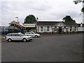
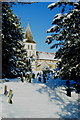
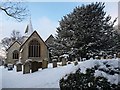
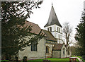
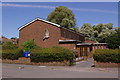
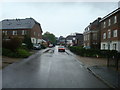
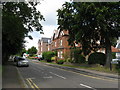
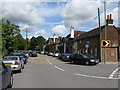
100 photos from this area
Area Information
Key information about the RH1 3NF including its size, population, and administrative classification.
- Area Type
- Postcode
- Area Size
- 3.2 hectares
- Population
- 1687
- Population Density
- 5292 people/km²
House Prices in RH1 3NF
53
Properties
£205,723
Average Sold Price
£78,000
Lowest Price
£340,000
Highest Price
Showing 53 properties
| Address | Type | Beds | Baths | Last Sale Price | Last Sale Date | |
|---|---|---|---|---|---|---|
| 51 Radstock Way, Merstham, RH1 3NF | Flat | - | - | £230,000 | Dec 2024 | |
| 9 Radstock Way, Merstham, RH1 3NF | Flat | 1 | 1 | £190,000 | Dec 2022 | |
| 39 Radstock Way, Merstham, RH1 3NF | Flat | 3 | 1 | £255,000 | Jan 2021 | |
| 1 Radstock Way, Merstham, RH1 3NF | Terraced | 3 | - | £340,000 | Aug 2017 | |
| 21 Radstock Way, Merstham, RH1 3NF | Semi-detached | 2 | - | £309,950 | Jan 2017 | |
| 25 Radstock Way, Merstham, RH1 3NF | Terraced | 2 | - | £210,000 | Mar 2014 | |
| 19 Radstock Way, Merstham, RH1 3NF | house | - | - | £177,000 | Nov 2010 | |
| 27 Radstock Way, Merstham, RH1 3NF | house | - | - | £220,000 | Jul 2009 | |
| 73 Radstock Way, Merstham, RH1 3NF | Flat | 2 | 1 | £151,500 | Aug 2008 | |
| 7 Radstock Way, Merstham, RH1 3NF | Flat | - | - | £101,500 | May 2006 |
Page 1 of 6
Energy Efficiency in RH1 3NF
Amenities
Schools
| Rank | School | Type | Entry gender | Ages |
|---|
Explore more schools in this area
Go to Schools tabDemographics
Household Size
One person
most common
Accommodation Type
Houses
most common
Tenure
42
majority
Ethnic Group
White
most common
Religion
N/A
most common
Household Composition
N/A
most common
Age
47
median
Adults (30-64 years)
most common
Household Deprivation
N/A
with no deprivation
NS-SEC
29
in Lower managerial occupations
Explore more demographic insights in this area
Go to Demographics tabPlanning
Planning Constraints
- Flood RiskPremium
- Ramsar Wetland SitesPremium
- Area of Outstanding Natural BeautyPremium
- Protected Nature ReservePremium
- Protected WoodlandPremium