Area Overview for RH1 2DJ
Photos of RH1 2DJ
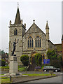
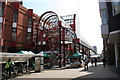
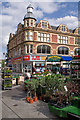
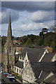
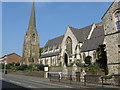
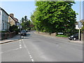
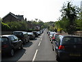
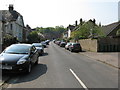
100 photos from this area
Area Information
Key information about the RH1 2DJ including its size, population, and administrative classification.
- Area Type
- Postcode
- Area Size
- 1.4 hectares
- Population
- 1702
- Population Density
- 2950 people/km²
House Prices in RH1 2DJ
13
Properties
£650,682
Average Sold Price
£301,000
Lowest Price
£1,225,000
Highest Price
Showing 13 properties
| Address | Type | Beds | Baths | Last Sale Price | Last Sale Date | |
|---|---|---|---|---|---|---|
| 13 Daneshill Close, Redhill, RH1 2DJ | Detached | 3 | 1 | £760,000 | Jun 2023 | |
| 1 Daneshill Close, Redhill, RH1 2DJ | house | 3 | 1 | £845,000 | Jan 2023 | |
| Borders, 19 Daneshill Close, Redhill, RH1 2DJ | Detached | 4 | 2 | £1,225,000 | Sep 2019 | |
| 9 Daneshill Close, Redhill, RH1 2DJ | Detached | 5 | - | £985,000 | Jun 2018 | |
| 6 Daneshill Close, Redhill, RH1 2DJ | Detached | 4 | 3 | £730,000 | Mar 2018 | |
| Bedlam, 17 Daneshill Close, Redhill, RH1 2DJ | house | - | - | £625,000 | Jan 2016 | |
| 2 Daneshill Close, Redhill, RH1 2DJ | house | - | - | £440,000 | Oct 2013 | |
| 15 Daneshill Close, Redhill, RH1 2DJ | house | 3 | - | £412,500 | Apr 2013 | |
| 11 Daneshill Close, Redhill, RH1 2DJ | Detached | - | - | £429,000 | Nov 2006 | |
| 7 Daneshill Close, Redhill, RH1 2DJ | house | - | - | £405,000 | Aug 2004 |
Page 1 of 2
Energy Efficiency in RH1 2DJ
Amenities
Schools
| Rank | School | Type | Entry gender | Ages |
|---|
Explore more schools in this area
Go to Schools tabDemographics
Household Size
Family (3-5 people)
most common
Accommodation Type
Houses
most common
Tenure
85
majority
Ethnic Group
White
most common
Religion
N/A
most common
Household Composition
N/A
most common
Age
47
median
Adults (30-64 years)
most common
Household Deprivation
N/A
with no deprivation
NS-SEC
53
in Lower managerial occupations
Explore more demographic insights in this area
Go to Demographics tabPlanning
Planning Constraints
- Flood RiskPremium
- Ramsar Wetland SitesPremium
- Area of Outstanding Natural BeautyPremium
- Protected Nature ReservePremium
- Protected WoodlandPremium