Area Overview for RG9 1UJ
Photos of RG9 1UJ

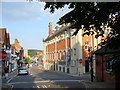
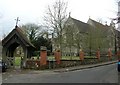
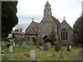
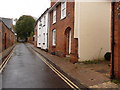
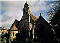
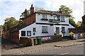
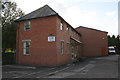
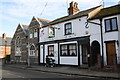
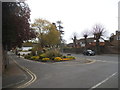
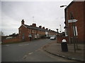
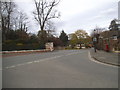
100 photos from this area
Area Information
Key information about the RG9 1UJ including its size, population, and administrative classification.
- Area Type
- Postcode
- Area Size
- 1.5 hectares
- Population
- 2119
- Population Density
- 2619 people/km²
House Prices in RG9 1UJ
42
Properties
£476,156
Average Sold Price
£120,000
Lowest Price
£965,000
Highest Price
Showing 42 properties
| Address | Type | Beds | Baths | Last Sale Price | Last Sale Date | |
|---|---|---|---|---|---|---|
| 33A Milton Close, Henley On Thames, RG9 1UJ | Terraced | 3 | 1 | £640,000 | Dec 2025 | |
| 10 Milton Close, Henley On Thames, RG9 1UJ | Terraced | 3 | 1 | £575,000 | Oct 2025 | |
| 18 Milton Close, Henley On Thames, RG9 1UJ | Terraced | 3 | 1 | £535,000 | Jul 2025 | |
| 11 Milton Close, Henley On Thames, RG9 1UJ | house | 3 | 1 | £545,000 | Jul 2025 | |
| 29 Milton Close, Henley On Thames, RG9 1UJ | Terraced | 3 | 2 | £735,000 | Jan 2025 | |
| 39 Milton Close, Henley On Thames, RG9 1UJ | Detached | 4 | 2 | £965,000 | Aug 2024 | |
| 3 Milton Close, Henley On Thames, RG9 1UJ | Detached | 4 | 2 | £715,000 | Mar 2024 | |
| 9 Milton Close, Henley On Thames, RG9 1UJ | Terraced | 3 | 2 | £544,200 | Feb 2024 | |
| 37 Milton Close, Henley On Thames, RG9 1UJ | Semi-detached | 4 | 2 | £780,000 | Jul 2023 | |
| 22 Milton Close, Henley On Thames, RG9 1UJ | Terraced | 3 | 1 | £590,000 | Oct 2022 |
Page 1 of 5
Energy Efficiency in RG9 1UJ
Amenities
Schools
| Rank | School | Type | Entry gender | Ages |
|---|
Explore more schools in this area
Go to Schools tabDemographics
Household Size
One person
most common
Accommodation Type
Houses
most common
Tenure
61
majority
Ethnic Group
White
most common
Religion
N/A
most common
Household Composition
N/A
most common
Age
47
median
Adults (30-64 years)
most common
Household Deprivation
N/A
with no deprivation
NS-SEC
52
in Lower managerial occupations
Explore more demographic insights in this area
Go to Demographics tabPlanning
Planning Constraints
- Flood RiskPremium
- Ramsar Wetland SitesPremium
- Area of Outstanding Natural BeautyPremium
- Protected Nature ReservePremium
- Protected WoodlandPremium