Area Overview for RG8 9EX
Photos of RG8 9EX
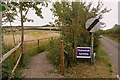
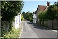
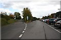
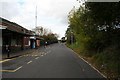
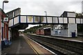
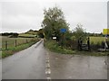
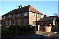
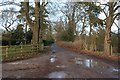
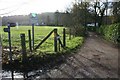
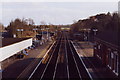
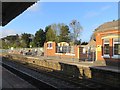
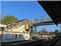
100 photos from this area
Area Information
Key information about the RG8 9EX including its size, population, and administrative classification.
- Area Type
- Postcode
- Area Size
- 3.4 hectares
- Population
- 1499
- Population Density
- 990 people/km²
House Prices in RG8 9EX
39
Properties
£577,102
Average Sold Price
£120,000
Lowest Price
£900,000
Highest Price
Showing 39 properties
| Address | Type | Beds | Baths | Last Sale Price | Last Sale Date | |
|---|---|---|---|---|---|---|
| 14 Holmlea Road, Goring, Reading, RG8 9EX | Detached | 3 | 2 | £746,000 | Aug 2025 | |
| 29 Holmlea Road, Goring, Reading, RG8 9EX | Detached | 4 | 2 | £732,452 | May 2025 | |
| 18 Holmlea Road, Goring, Reading, RG8 9EX | Retail | 4 | 3 | £900,000 | Jan 2023 | |
| 19 Holmlea Road, Goring, Reading, RG8 9EX | house | - | - | £895,000 | Feb 2022 | |
| 27 Holmlea Road, Goring, Reading, RG8 9EX | Detached | 4 | 2 | £855,000 | Sep 2021 | |
| 17 Holmlea Road, Goring, Reading, RG8 9EX | house | - | - | £675,000 | Apr 2021 | |
| 28 Holmlea Road, Goring, Reading, RG8 9EX | house | - | - | £765,000 | Dec 2020 | |
| 8 Holmlea Road, Goring, Reading, RG8 9EX | Detached | 3 | 1 | £725,000 | Dec 2019 | |
| 1 Holmlea Road, Goring, Reading, RG8 9EX | Detached | 3 | 2 | £660,000 | Jun 2019 | |
| 9 Holmlea Road, Goring, Reading, RG8 9EX | Detached | 4 | 1 | £815,000 | Oct 2018 |
Page 1 of 4
Energy Efficiency in RG8 9EX
Amenities
Schools
| Rank | School | Type | Entry gender | Ages |
|---|
Explore more schools in this area
Go to Schools tabDemographics
Household Size
Two person
most common
Accommodation Type
Houses
most common
Tenure
85
majority
Ethnic Group
White
most common
Religion
N/A
most common
Household Composition
N/A
most common
Age
47
median
Elderly (65+ years)
most common
Household Deprivation
N/A
with no deprivation
NS-SEC
57
in Lower managerial occupations
Explore more demographic insights in this area
Go to Demographics tabPlanning
Planning Constraints
- Flood RiskPremium
- Ramsar Wetland SitesPremium
- Area of Outstanding Natural BeautyPremium
- Protected Nature ReservePremium
- Protected WoodlandPremium