Area Overview for RG8 7PT
Photos of RG8 7PT
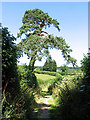
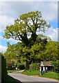


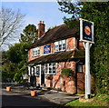

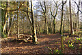
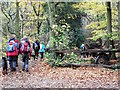
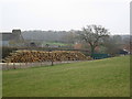
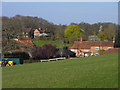
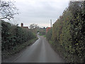

76 photos from this area
Area Information
Key information about the RG8 7PT including its size, population, and administrative classification.
- Area Type
- Postcode
- Area Size
- 5.3 hectares
- Population
- 1473
- Population Density
- 126 people/km²
House Prices in RG8 7PT
24
Properties
£546,559
Average Sold Price
£337,000
Lowest Price
£1,050,000
Highest Price
Showing 24 properties
| Address | Type | Beds | Baths | Last Sale Price | Last Sale Date | |
|---|---|---|---|---|---|---|
| Larch Cottage, Hill Bottom, Whitchurch Hill, Reading, RG8 7PT | Detached | - | - | £480,000 | Nov 2025 | |
| Mistwood, Hill Bottom, Whitchurch Hill, Reading, RG8 7PT | house | - | - | £1,050,000 | Feb 2025 | |
| Meadowdown, Hill Bottom, Whitchurch Hill, Reading, RG8 7PT | house | - | - | £790,000 | Jun 2021 | |
| The Deepings, Hill Bottom, Whitchurch Hill, Reading, RG8 7PT | Bungalow | 4 | 1 | £539,950 | Sep 2020 | |
| Hunters Moon, Hill Bottom, Whitchurch Hill, Reading, RG8 7PT | Detached | 5 | 3 | £585,000 | May 2018 | |
| South View, Hill Bottom, Whitchurch Hill, Reading, RG8 7PT | Cottage | 4 | 2 | £825,000 | Aug 2017 | |
| Field View House, Hill Bottom, Whitchurch Hill, Reading, RG8 7PT | house | 4 | - | £640,000 | Oct 2015 | |
| Fieldways Cottage, Hill Bottom, Whitchurch Hill, Reading, RG8 7PT | Bungalow | 3 | 2 | £407,000 | Mar 2015 | |
| Bluebell Cottage, Hill Bottom, Whitchurch Hill, Reading, RG8 7PT | Bungalow | 4 | - | £475,000 | Nov 2014 | |
| Hedgerows, Hill Bottom, Whitchurch Hill, Reading, RG8 7PT | Detached | 4 | - | £445,000 | Aug 2013 |
Page 1 of 3
Energy Efficiency in RG8 7PT
Amenities
Schools
| Rank | School | Type | Entry gender | Ages |
|---|
Explore more schools in this area
Go to Schools tabDemographics
Household Size
Family (3-5 people)
most common
Accommodation Type
Houses
most common
Tenure
80
majority
Ethnic Group
White
most common
Religion
N/A
most common
Household Composition
N/A
most common
Age
47
median
Adults (30-64 years)
most common
Household Deprivation
N/A
with no deprivation
NS-SEC
53
in Lower managerial occupations
Explore more demographic insights in this area
Go to Demographics tabPlanning
Planning Constraints
- Flood RiskPremium
- Ramsar Wetland SitesPremium
- Area of Outstanding Natural BeautyPremium
- Protected Nature ReservePremium
- Protected WoodlandPremium