Area Overview for RG8 7HY
Photos of RG8 7HY
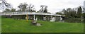
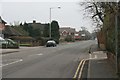
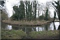
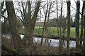
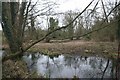
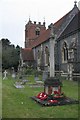
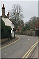
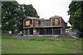
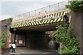
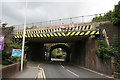
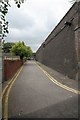
100 photos from this area
Area Information
Key information about the RG8 7HY including its size, population, and administrative classification.
- Area Type
- Postcode
- Area Size
- 9453 m²
- Population
- 1687
- Population Density
- 1842 people/km²
House Prices in RG8 7HY
20
Properties
£381,300
Average Sold Price
£148,000
Lowest Price
£690,000
Highest Price
Showing 20 properties
| Address | Type | Beds | Baths | Last Sale Price | Last Sale Date | |
|---|---|---|---|---|---|---|
| 55 Reading Road, Pangbourne, Reading, RG8 7HY | Terraced | 3 | 2 | £490,000 | Jul 2024 | |
| 35 Reading Road, Pangbourne, Reading, RG8 7HY | Terraced | 2 | 1 | £323,000 | Jun 2023 | |
| 33 Reading Road, Pangbourne, Reading, RG8 7HY | Terraced | 2 | 1 | £300,000 | Mar 2022 | |
| Grey Star Mews, 27 Reading Road, Pangbourne, Reading, RG8 7HY | Flat | 1 | 1 | £600,000 | Nov 2020 | |
| 47 Reading Road, Pangbourne, Reading, RG8 7HY | house | 3 | - | £690,000 | Nov 2014 | |
| 51 Reading Road, Pangbourne, Reading, RG8 7HY | Retail | 2 | 2 | £310,000 | Aug 2013 | |
| 49 Reading Road, Pangbourne, Reading, RG8 7HY | house | - | - | £322,000 | May 2010 | |
| 45 Reading Road, Pangbourne, Reading, RG8 7HY | Detached | 3 | 3 | £430,000 | Jun 2009 | |
| 31 Reading Road, Pangbourne, Reading, RG8 7HY | house | - | - | £148,000 | Nov 2003 | |
| 59 Reading Road, Pangbourne, Reading, RG8 7HY | house | - | - | £200,000 | May 2002 |
Page 1 of 2
Energy Efficiency in RG8 7HY
Amenities
Schools
| Rank | School | Type | Entry gender | Ages |
|---|
Explore more schools in this area
Go to Schools tabDemographics
Household Size
Two person
most common
Accommodation Type
Houses
most common
Tenure
70
majority
Ethnic Group
White
most common
Religion
N/A
most common
Household Composition
N/A
most common
Age
47
median
Adults (30-64 years)
most common
Household Deprivation
N/A
with no deprivation
NS-SEC
44
in Lower managerial occupations
Explore more demographic insights in this area
Go to Demographics tabPlanning
Planning Constraints
- Flood RiskPremium
- Ramsar Wetland SitesPremium
- Area of Outstanding Natural BeautyPremium
- Protected Nature ReservePremium
- Protected WoodlandPremium