Area Overview for RG8 7AT
Photos of RG8 7AT
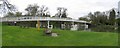
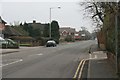
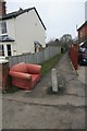
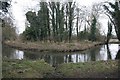
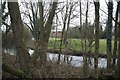
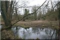
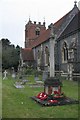
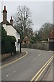
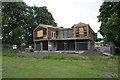
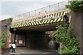
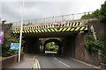
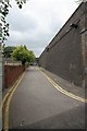
100 photos from this area
Area Information
Key information about the RG8 7AT including its size, population, and administrative classification.
- Area Type
- Postcode
- Area Size
- 2.6 hectares
- Population
- 1590
- Population Density
- 270 people/km²
House Prices in RG8 7AT
27
Properties
£637,450
Average Sold Price
£400,000
Lowest Price
£1,000,000
Highest Price
Showing 27 properties
| Address | Type | Beds | Baths | Last Sale Price | Last Sale Date | |
|---|---|---|---|---|---|---|
| 20 Breedons Hill, Pangbourne, Reading, RG8 7AT | Flat | 3 | 2 | £545,000 | Jun 2024 | |
| 25 Breedons Hill, Pangbourne, Reading, RG8 7AT | Bungalow | 2 | 2 | £665,000 | Jun 2024 | |
| 24 Breedons Hill, Pangbourne, Reading, RG8 7AT | house | - | - | £600,000 | Jul 2023 | |
| 23 Breedons Hill, Pangbourne, Reading, RG8 7AT | Detached | 3 | 2 | £585,000 | Oct 2022 | |
| 18 Breedons Hill, Pangbourne, Reading, RG8 7AT | Flat | 4 | 3 | £1,000,000 | Aug 2022 | |
| 19 Breedons Hill, Pangbourne, Reading, RG8 7AT | Flat | - | - | £615,000 | Sep 2021 | |
| 21 Breedons Hill, Pangbourne, Reading, RG8 7AT | Flat | 2 | 2 | £400,000 | May 2016 | |
| 22 Breedons Hill, Pangbourne, Reading, RG8 7AT | Semi-detached | 3 | 2 | £534,500 | Jul 2009 | |
| 26 Breedons Hill, Pangbourne, Reading, RG8 7AT | Bungalow | 3 | 2 | £595,000 | Jan 2008 | |
| 3 Breedons Hill, Pangbourne, Reading, RG8 7AT | Detached | - | - | £835,000 | May 2004 |
Page 1 of 3
Energy Efficiency in RG8 7AT
Amenities
Schools
| Rank | School | Type | Entry gender | Ages |
|---|
Explore more schools in this area
Go to Schools tabDemographics
Household Size
Two person
most common
Accommodation Type
Houses
most common
Tenure
75
majority
Ethnic Group
White
most common
Religion
N/A
most common
Household Composition
N/A
most common
Age
47
median
Adults (30-64 years)
most common
Household Deprivation
N/A
with no deprivation
NS-SEC
53
in Lower managerial occupations
Explore more demographic insights in this area
Go to Demographics tabPlanning
Planning Constraints
- Flood RiskPremium
- Ramsar Wetland SitesPremium
- Area of Outstanding Natural BeautyPremium
- Protected Nature ReservePremium
- Protected WoodlandPremium