Area Overview for RG8 0BY
Photos of RG8 0BY
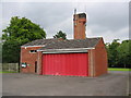
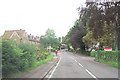
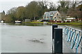
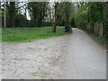
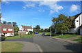
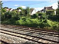
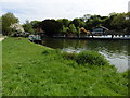
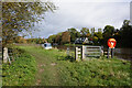
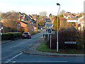
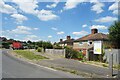
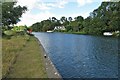
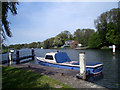
41 photos from this area
Area Information
Key information about the RG8 0BY including its size, population, and administrative classification.
- Area Type
- Postcode
- Area Size
- 6.4 hectares
- Population
- 1665
- Population Density
- 177 people/km²
House Prices in RG8 0BY
29
Properties
£624,109
Average Sold Price
£175,000
Lowest Price
£1,125,000
Highest Price
Showing 29 properties
| Address | Type | Beds | Baths | Last Sale Price | Last Sale Date | |
|---|---|---|---|---|---|---|
| 19 Springhill Road, Goring, Reading, RG8 0BY | Semi-detached | 4 | 2 | £710,000 | Aug 2024 | |
| 21A Springhill Road, Goring, Reading, RG8 0BY | house | - | - | £1,125,000 | Aug 2024 | |
| Former, 21 Springhill Road, Goring, Reading, RG8 0BY | Detached | 5 | 4 | £1,125,000 | Dec 2023 | |
| 21 Springhill Road, Goring, Reading, RG8 0BY | house | - | - | £1,125,000 | Dec 2023 | |
| 47 Springhill Road, Goring, Reading, RG8 0BY | Retail | 5 | 2 | £1,000,000 | Sep 2022 | |
| 9 Springhill Road, Goring, Reading, RG8 0BY | house | - | - | £585,000 | Aug 2021 | |
| 17 Springhill Road, Goring, Reading, RG8 0BY | Semi-detached | 3 | 2 | £609,000 | Aug 2020 | |
| 27 Springhill Road, Goring, Reading, RG8 0BY | Detached | 4 | 2 | £980,000 | Nov 2019 | |
| 49 Springhill Road, Goring, Reading, RG8 0BY | Semi-detached | 5 | 1 | £607,500 | Oct 2019 | |
| 25 Springhill Road, Goring, Reading, RG8 0BY | Detached | 4 | 2 | £885,000 | Mar 2019 |
Page 1 of 3
Energy Efficiency in RG8 0BY
Amenities
Schools
| Rank | School | Type | Entry gender | Ages |
|---|
Explore more schools in this area
Go to Schools tabDemographics
Household Size
Two person
most common
Accommodation Type
Houses
most common
Tenure
72
majority
Ethnic Group
White
most common
Religion
N/A
most common
Household Composition
N/A
most common
Age
47
median
Adults (30-64 years)
most common
Household Deprivation
N/A
with no deprivation
NS-SEC
52
in Lower managerial occupations
Explore more demographic insights in this area
Go to Demographics tabPlanning
Planning Constraints
- Flood RiskPremium
- Ramsar Wetland SitesPremium
- Area of Outstanding Natural BeautyPremium
- Protected Nature ReservePremium
- Protected WoodlandPremium