Area Overview for RG7 5DF
Photos of RG7 5DF
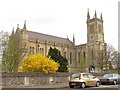
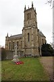
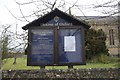
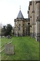


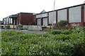

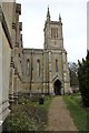
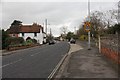
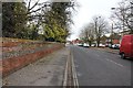
96 photos from this area
Area Information
Key information about the RG7 5DF including its size, population, and administrative classification.
- Area Type
- Postcode
- Area Size
- 1.4 hectares
- Population
- 1572
- Population Density
- 972 people/km²
House Prices in RG7 5DF
20
Properties
£287,050
Average Sold Price
£79,950
Lowest Price
£396,000
Highest Price
Showing 20 properties
| Address | Type | Beds | Baths | Last Sale Price | Last Sale Date | |
|---|---|---|---|---|---|---|
| 17 Chestnut Close, Theale, Reading, RG7 5DF | Semi-detached | 2 | 2 | £360,000 | Aug 2025 | |
| 16 Chestnut Close, Theale, Reading, RG7 5DF | Semi-detached | 2 | 1 | £285,000 | Jun 2020 | |
| 19 Chestnut Close, Theale, Reading, RG7 5DF | Semi-detached | 2 | 1 | £307,000 | Sep 2017 | |
| 7 Chestnut Close, Theale, Reading, RG7 5DF | house | - | - | £356,000 | Dec 2016 | |
| 18 Chestnut Close, Theale, Reading, RG7 5DF | house | - | - | £294,000 | Aug 2016 | |
| 1 Chestnut Close, Theale, Reading, RG7 5DF | Detached | 3 | - | £275,000 | May 2012 | |
| 14 Chestnut Close, Theale, Reading, RG7 5DF | Semi-detached | - | - | £264,700 | Jul 2008 | |
| 4 Chestnut Close, Theale, Reading, RG7 5DF | Detached | - | - | £303,000 | May 2006 | |
| 9 Chestnut Close, Theale, Reading, RG7 5DF | house | - | - | £169,000 | Oct 2003 | |
| 10 Chestnut Close, Theale, Reading, RG7 5DF | Detached | - | - | £354,950 | Aug 2003 |
Page 1 of 2
Energy Efficiency in RG7 5DF
Amenities
Schools
| Rank | School | Type | Entry gender | Ages |
|---|
Explore more schools in this area
Go to Schools tabDemographics
Household Size
One person
most common
Accommodation Type
Houses
most common
Tenure
49
majority
Ethnic Group
White
most common
Religion
N/A
most common
Household Composition
N/A
most common
Age
47
median
Adults (30-64 years)
most common
Household Deprivation
N/A
with no deprivation
NS-SEC
35
in Lower managerial occupations
Explore more demographic insights in this area
Go to Demographics tabPlanning
Planning Constraints
- Flood RiskPremium
- Ramsar Wetland SitesPremium
- Area of Outstanding Natural BeautyPremium
- Protected Nature ReservePremium
- Protected WoodlandPremium