Area Overview for RG7 5AS
Photos of RG7 5AS
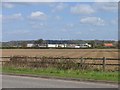
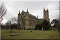
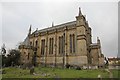
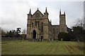
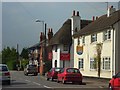
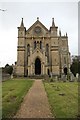
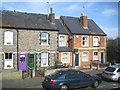
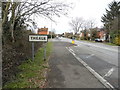
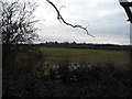
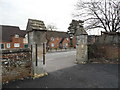
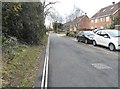
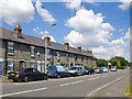
44 photos from this area
Area Information
Key information about the RG7 5AS including its size, population, and administrative classification.
- Area Type
- Postcode
- Area Size
- 13.0 hectares
- Population
- 1572
- Population Density
- 972 people/km²
House Prices in RG7 5AS
39
Properties
£367,493
Average Sold Price
£72,000
Lowest Price
£1,200,000
Highest Price
Showing 39 properties
| Address | Type | Beds | Baths | Last Sale Price | Last Sale Date | |
|---|---|---|---|---|---|---|
| 12 Englefield Road, Theale, Reading, RG7 5AS | Semi-detached | 3 | 1 | £400,000 | Mar 2025 | |
| 32 Englefield Road, Theale, Reading, RG7 5AS | Semi-detached | 3 | 1 | £575,000 | Dec 2024 | |
| 62 Englefield Road, Theale, Reading, RG7 5AS | Semi-detached | 4 | 2 | £520,000 | Feb 2023 | |
| Merlin House, 2B Englefield Road, Theale, Reading, RG7 5AS | house | - | - | £270,000 | Aug 2022 | |
| 6 Englefield Road, Theale, Reading, RG7 5AS | Semi-detached | 3 | 2 | £398,000 | Jun 2020 | |
| 50 Englefield Road, Theale, Reading, RG7 5AS | Maisonette | 2 | 1 | £250,000 | May 2020 | |
| 2 Englefield Road, Theale, Reading, RG7 5AS | Semi-detached | 4 | 1 | £475,000 | Apr 2018 | |
| The Old Rectory, Englefield Road, Theale, Reading, RG7 5AS | Detached | 5 | 2 | £1,200,000 | Oct 2017 | |
| 8 Englefield Road, Theale, Reading, RG7 5AS | Semi-detached | 4 | - | £345,000 | May 2014 | |
| 56 Englefield Road, Theale, Reading, RG7 5AS | Maisonette | 2 | 1 | £144,950 | Jan 2011 |
Page 1 of 4
Energy Efficiency in RG7 5AS
Amenities
Schools
| Rank | School | Type | Entry gender | Ages |
|---|
Explore more schools in this area
Go to Schools tabDemographics
Household Size
One person
most common
Accommodation Type
Houses
most common
Tenure
49
majority
Ethnic Group
White
most common
Religion
N/A
most common
Household Composition
N/A
most common
Age
47
median
Adults (30-64 years)
most common
Household Deprivation
N/A
with no deprivation
NS-SEC
35
in Lower managerial occupations
Explore more demographic insights in this area
Go to Demographics tabPlanning
Planning Constraints
- Flood RiskPremium
- Ramsar Wetland SitesPremium
- Area of Outstanding Natural BeautyPremium
- Protected Nature ReservePremium
- Protected WoodlandPremium