Area Overview for RG7 3HP
Photos of RG7 3HP
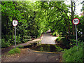
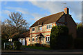
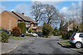
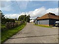
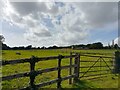
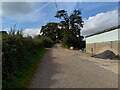
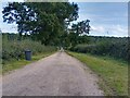
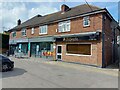
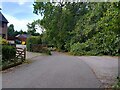
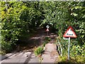
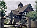
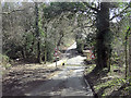
34 photos from this area
Area Information
Key information about the RG7 3HP including its size, population, and administrative classification.
- Area Type
- Postcode
- Area Size
- 1.4 hectares
- Population
- 1733
- Population Density
- 4644 people/km²
House Prices in RG7 3HP
19
Properties
£289,100
Average Sold Price
£177,000
Lowest Price
£535,000
Highest Price
Showing 19 properties
| Address | Type | Beds | Baths | Last Sale Price | Last Sale Date | |
|---|---|---|---|---|---|---|
| 5 Pinchcut, Burghfield Common, Reading, RG7 3HP | house | - | - | £292,000 | Apr 2021 | |
| 18 Pinchcut, Burghfield Common, Reading, RG7 3HP | Semi-detached | 4 | 2 | £375,000 | Jun 2017 | |
| 7 Pinchcut, Burghfield Common, Reading, RG7 3HP | house | 4 | - | £535,000 | Mar 2016 | |
| 8 Pinchcut, Burghfield Common, Reading, RG7 3HP | Semi-detached | 4 | 2 | £305,000 | Jul 2014 | |
| 12 Pinchcut, Burghfield Common, Reading, RG7 3HP | Semi-detached | 3 | - | £249,500 | May 2013 | |
| 15 Pinchcut, Burghfield Common, Reading, RG7 3HP | Semi-detached | 3 | - | £270,000 | Feb 2013 | |
| 16 Pinchcut, Burghfield Common, Reading, RG7 3HP | Semi-detached | 3 | 2 | £225,000 | Nov 2005 | |
| 10 Pinchcut, Burghfield Common, Reading, RG7 3HP | Semi-detached | - | - | £249,999 | Dec 2004 | |
| 17 Pinchcut, Burghfield Common, Reading, RG7 3HP | Semi-detached | - | - | £212,500 | Oct 2002 | |
| 3 Pinchcut, Burghfield Common, Reading, RG7 3HP | house | - | - | £177,000 | Apr 2002 |
Page 1 of 2
Energy Efficiency in RG7 3HP
Amenities
Schools
| Rank | School | Type | Entry gender | Ages |
|---|
Explore more schools in this area
Go to Schools tabDemographics
Household Size
Family (3-5 people)
most common
Accommodation Type
Houses
most common
Tenure
60
majority
Ethnic Group
White
most common
Religion
N/A
most common
Household Composition
N/A
most common
Age
47
median
Adults (30-64 years)
most common
Household Deprivation
N/A
with no deprivation
NS-SEC
38
in Lower managerial occupations
Explore more demographic insights in this area
Go to Demographics tabPlanning
Planning Constraints
- Flood RiskPremium
- Ramsar Wetland SitesPremium
- Area of Outstanding Natural BeautyPremium
- Protected Nature ReservePremium
- Protected WoodlandPremium