Area Overview for RG7 3DU
Photos of RG7 3DU
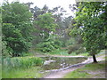
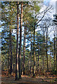
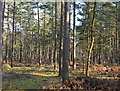
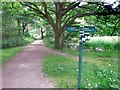
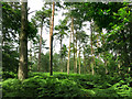
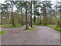
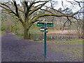

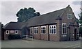
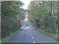
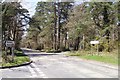
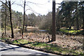
25 photos from this area
Area Information
Key information about the RG7 3DU including its size, population, and administrative classification.
- Area Type
- Postcode
- Area Size
- 1.1 hectares
- Population
- 1484
- Population Density
- 2921 people/km²
House Prices in RG7 3DU
19
Properties
£439,222
Average Sold Price
£143,500
Lowest Price
£710,167
Highest Price
Showing 19 properties
| Address | Type | Beds | Baths | Last Sale Price | Last Sale Date | |
|---|---|---|---|---|---|---|
| Westmore, Palmers Lane, Burghfield Common, Reading, RG7 3DU | Semi-detached | 4 | 3 | £710,167 | Apr 2024 | |
| Willowbank, Palmers Lane, Burghfield Common, Reading, RG7 3DU | Bungalow | 3 | 2 | £500,000 | Jul 2022 | |
| White Wings, Palmers Lane, Burghfield Common, Reading, RG7 3DU | house | - | - | £470,000 | Oct 2020 | |
| Rosemary Cottage, Palmers Lane, Burghfield Common, Reading, RG7 3DU | Detached | 4 | 2 | £515,000 | Mar 2020 | |
| Sezela, Palmers Lane, Burghfield Common, Reading, RG7 3DU | house | - | - | £500,000 | Oct 2019 | |
| Evergreen, Palmers Lane, Burghfield Common, Reading, RG7 3DU | Semi-detached | 3 | - | £440,000 | Jan 2018 | |
| Saffrons, Palmers Lane, Burghfield Common, Reading, RG7 3DU | Detached | 4 | 2 | £655,000 | Jan 2018 | |
| Little Springs, Palmers Lane, Burghfield Common, Reading, RG7 3DU | house | 4 | - | £385,000 | Jun 2014 | |
| The Haven, Palmers Lane, Burghfield Common, Reading, RG7 3DU | house | 4 | - | £500,000 | Dec 2012 | |
| Pathside, Palmers Lane, Burghfield Common, Reading, RG7 3DU | Semi-detached | 3 | 2 | £267,000 | Jul 2002 |
Page 1 of 2
Energy Efficiency in RG7 3DU
Amenities
Schools
| Rank | School | Type | Entry gender | Ages |
|---|
Explore more schools in this area
Go to Schools tabDemographics
Household Size
Two person
most common
Accommodation Type
Houses
most common
Tenure
87
majority
Ethnic Group
White
most common
Religion
N/A
most common
Household Composition
N/A
most common
Age
47
median
Adults (30-64 years)
most common
Household Deprivation
N/A
with no deprivation
NS-SEC
53
in Lower managerial occupations
Explore more demographic insights in this area
Go to Demographics tabPlanning
Planning Constraints
- Flood RiskPremium
- Ramsar Wetland SitesPremium
- Area of Outstanding Natural BeautyPremium
- Protected Nature ReservePremium
- Protected WoodlandPremium