Area Overview for RG7 3BH
Photos of RG7 3BH
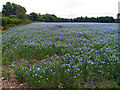
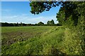
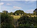
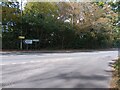
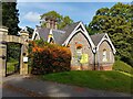
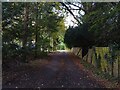
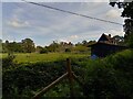
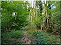
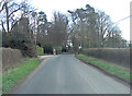
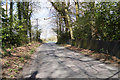
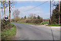
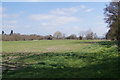
37 photos from this area
Area Information
Key information about the RG7 3BH including its size, population, and administrative classification.
- Area Type
- Postcode
- Area Size
- 8.5 hectares
- Population
- 1467
- Population Density
- 1315 people/km²
House Prices in RG7 3BH
19
Properties
£566,455
Average Sold Price
£255,000
Lowest Price
£1,100,000
Highest Price
Showing 19 properties
| Address | Type | Beds | Baths | Last Sale Price | Last Sale Date | |
|---|---|---|---|---|---|---|
| Haycroft, Reading Road, Burghfield Common, Reading, RG7 3BH | Detached | 4 | 2 | £660,000 | Aug 2025 | |
| Red Kite House, Reading Road, Burghfield Common, Reading, RG7 3BH | Detached | 13 | 13 | £1,100,000 | Mar 2025 | |
| Residential Community Care Ltd, Glebe Garden, Reading Road, Burghfield Common, Reading, RG7 3BH | house | - | - | £677,000 | Dec 2022 | |
| Bleak Cottage, Reading Road, Burghfield Common, Reading, RG7 3BH | Detached | 4 | - | £757,500 | Jul 2017 | |
| Hazeldene, Reading Road, Burghfield Common, Reading, RG7 3BH | Detached | - | - | £840,000 | Jul 2017 | |
| Nether Wayside, Reading Road, Burghfield Common, Reading, RG7 3BH | Detached | - | - | £335,000 | Oct 2006 | |
| Kelynack, Reading Road, Burghfield Common, Reading, RG7 3BH | Detached | 5 | 2 | £395,000 | Dec 2003 | |
| Essex Farm Cottage, Reading Road, Burghfield Common, Reading, RG7 3BH | Detached | - | - | £287,500 | Dec 2000 | |
| The Hollies, Reading Road, Burghfield Common, Reading, RG7 3BH | hospital_care_home | - | - | £648,000 | Aug 1999 | |
| Primrose Croft, Reading Road, Burghfield Common, Reading, RG7 3BH | Detached | - | - | £276,000 | Sep 1997 |
Page 1 of 2
Energy Efficiency in RG7 3BH
Amenities
Schools
| Rank | School | Type | Entry gender | Ages |
|---|
Explore more schools in this area
Go to Schools tabDemographics
Household Size
Family (3-5 people)
most common
Accommodation Type
Houses
most common
Tenure
61
majority
Ethnic Group
White
most common
Religion
N/A
most common
Household Composition
N/A
most common
Age
47
median
Adults (30-64 years)
most common
Household Deprivation
N/A
with no deprivation
NS-SEC
54
in Lower managerial occupations
Explore more demographic insights in this area
Go to Demographics tabPlanning
Planning Constraints
- Flood RiskPremium
- Ramsar Wetland SitesPremium
- Area of Outstanding Natural BeautyPremium
- Protected Nature ReservePremium
- Protected WoodlandPremium