Area Overview for RG7 1QX
Photos of RG7 1QX
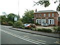
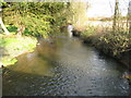
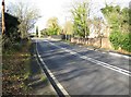
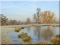
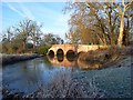
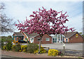
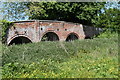
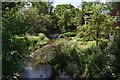
32 photos from this area
Area Information
Key information about the RG7 1QX including its size, population, and administrative classification.
- Area Type
- Postcode
- Area Size
- 19.0 hectares
- Population
- 1295
- Population Density
- 143 people/km²
House Prices in RG7 1QX
29
Properties
£584,472
Average Sold Price
£203,000
Lowest Price
£850,000
Highest Price
Showing 29 properties
| Address | Type | Beds | Baths | Last Sale Price | Last Sale Date | |
|---|---|---|---|---|---|---|
| Appletrees, Swallowfield Street, Swallowfield, RG7 1QX | Detached | 4 | 2 | £825,000 | Jun 2025 | |
| Old Cottage, Swallowfield Street, Swallowfield, RG7 1QX | Semi-detached | 4 | 3 | £750,000 | Aug 2024 | |
| The Orchard, Swallowfield Street, Swallowfield, RG7 1QX | Bungalow | 4 | 2 | £765,000 | Jan 2024 | |
| Briarwood, Swallowfield Street, Swallowfield, RG7 1QX | Detached | 5 | 2 | £750,050 | Jan 2024 | |
| Tamarind, Swallowfield Street, Swallowfield, RG7 1QX | Retail | 4 | 2 | £850,000 | Mar 2022 | |
| Orchard House, Swallowfield Street, Swallowfield, RG7 1QX | house | - | - | £797,000 | Aug 2021 | |
| Charlton House, Swallowfield Street, Swallowfield, RG7 1QX | Detached | 5 | - | £824,000 | Jan 2014 | |
| Bramley, Swallowfield Street, Swallowfield, RG7 1QX | house | 5 | 2 | £820,000 | Apr 2013 | |
| Boanti House, Swallowfield Street, Swallowfield, RG7 1QX | house | 5 | - | £730,000 | Feb 2013 | |
| The Field House, Swallowfield Street, Swallowfield, RG7 1QX | house | - | - | £350,000 | Nov 2009 |
Page 1 of 3
Energy Efficiency in RG7 1QX
Amenities
Schools
| Rank | School | Type | Entry gender | Ages |
|---|
Explore more schools in this area
Go to Schools tabDemographics
Household Size
Two person
most common
Accommodation Type
Houses
most common
Tenure
82
majority
Ethnic Group
White
most common
Religion
N/A
most common
Household Composition
N/A
most common
Age
47
median
Adults (30-64 years)
most common
Household Deprivation
N/A
with no deprivation
NS-SEC
50
in Lower managerial occupations
Explore more demographic insights in this area
Go to Demographics tabPlanning
Planning Constraints
- Flood RiskPremium
- Ramsar Wetland SitesPremium
- Area of Outstanding Natural BeautyPremium
- Protected Nature ReservePremium
- Protected WoodlandPremium