Area Overview for RG6 5GL
Photos of RG6 5GL
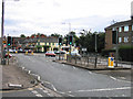


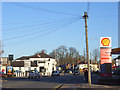
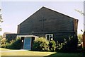
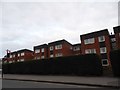
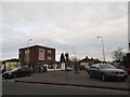
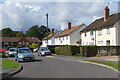
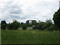
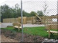
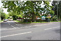
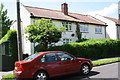
48 photos from this area
Area Information
Key information about the RG6 5GL including its size, population, and administrative classification.
- Area Type
- Postcode
- Area Size
- 8087 m²
- Population
- 1380
- Population Density
- 3549 people/km²
House Prices in RG6 5GL
16
Properties
£369,621
Average Sold Price
£129,000
Lowest Price
£675,000
Highest Price
Showing 16 properties
| Address | Type | Beds | Baths | Last Sale Price | Last Sale Date | |
|---|---|---|---|---|---|---|
| 6 Basil Close, Earley, RG6 5GL | house | - | - | £550,000 | Feb 2023 | |
| 8 Basil Close, Earley, RG6 5GL | house | - | - | £606,000 | Sep 2022 | |
| 7 Basil Close, Earley, RG6 5GL | house | - | - | £675,000 | Mar 2020 | |
| 2 Basil Close, Earley, RG6 5GL | Detached | 4 | - | £396,000 | Nov 2013 | |
| 17 Basil Close, Earley, RG6 5GL | Detached | 4 | - | £359,000 | Oct 2013 | |
| 3 Basil Close, Earley, RG6 5GL | house | - | - | £332,000 | Aug 2011 | |
| 16 Basil Close, Earley, RG6 5GL | house | - | - | £329,000 | Jun 2010 | |
| 14 Basil Close, Earley, RG6 5GL | house | - | - | £323,500 | Jan 2010 | |
| 12 Basil Close, Earley, RG6 5GL | house | - | - | £260,000 | Jul 2004 | |
| 10 Basil Close, Earley, RG6 5GL | Detached | 4 | 2 | £310,000 | Aug 2000 |
Page 1 of 2
Energy Efficiency in RG6 5GL
Amenities
Schools
| Rank | School | Type | Entry gender | Ages |
|---|
Explore more schools in this area
Go to Schools tabDemographics
Household Size
Two person
most common
Accommodation Type
Houses
most common
Tenure
81
majority
Ethnic Group
White
most common
Religion
N/A
most common
Household Composition
N/A
most common
Age
47
median
Adults (30-64 years)
most common
Household Deprivation
N/A
with no deprivation
NS-SEC
48
in Lower managerial occupations
Explore more demographic insights in this area
Go to Demographics tabPlanning
Planning Constraints
- Flood RiskPremium
- Ramsar Wetland SitesPremium
- Area of Outstanding Natural BeautyPremium
- Protected Nature ReservePremium
- Protected WoodlandPremium